
What is recorded here
In reclaimed grassland on a N-facing slope of rising ground with wet unreclaimed land to N and higher ground to S. Large sub-circular area (int. diam. 63m N-S; 60m E-W) enclosed by an earth and stone bank (top wth 2.2m; base Wth 3m; int. H 0.2-0.5m; ext. H 0.2-1m) best preserved from S to W and mainly reduced to a scarp from NW to N and survives as an earthen bank elsewhere, with traces of an outer fosse visible at N only, possible entrance gap (Wth 3m) at SSW and livestock gap (Wth 1.2m) in bank at NW. Large quarry (dims. 8m N-S; 20m E-W; D 1.5m) in W quadrant of interior of ringfort which may have resulted in the construction of stone walls on top of bank of ringfort visible along W quadrant but not visible elsewhere where the bank construction is mainly of earth with some stone included. Drystone wall sitting on top of bank along W quadrant may be associated with quarry as stone wall runs parallel with stone on top of bank forming a roadway giving access to quarry, this roadway runs along the outside of the bank on the W side.
Compiled by: Jean Farrelly
Date of upload: 26 August 2011
The monument record does not grant public access. Check the route and ask the landowner before entering private land.
- What survives
- Recorded monument
Places near here
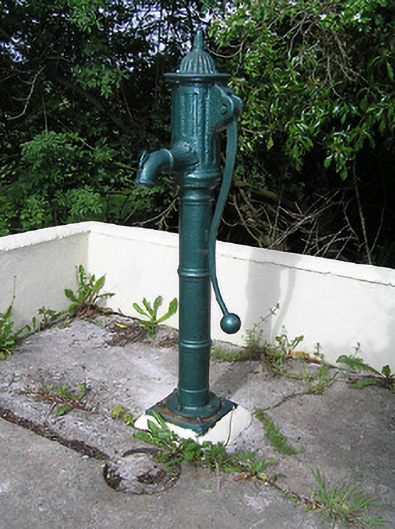 water pumpwater pump · 273 yd
 Water millWater mill, horizontal-wheeled · 866 yd
 Settlement desertedSettlement deserted, medieval · 972 yd
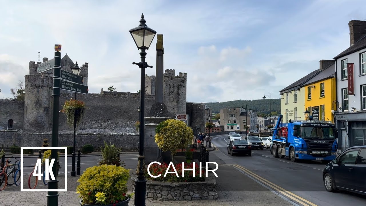 Bawn in ErryBawn · 988 yd
 Black FortFairy fort / earthen ringfort · 1257 yd
 Castle in RuinsCastle, motte and bailey · 1420 yd
 Ballinure HillMountain / peak · 1.3 mi
 Taylor's WoodWood · 1.8 mi
 Ballyknock HillMountain / peak · 2.7 mi
 The Rock Of CashelVisitor information · 3.9 mi
 Cormac's ChapelHeritage attraction · 3.9 mi
 Rock of CashelHeritage attraction · 3.9 mi
Other information
Photo: Credit not shown in the picture search · Rights wording not checked; contact us if this picture should be removed