
What is recorded here
On an E-facing slope of rising ground in upland area with good views from N through E to S, higher ground to W. Ringfort located in hazel woodland and covered in thorn bushes and trees making detailed examination impossible. Monument appears to be situated on edge of small stream located to E and appears to have a cliff-edge location. Monument consists of a raised circular area (approx. diam. 35m N-S) enclosed by a bank mainly reduced to a scarp (H 2-4m) and deep waterlogged outer fosse (base Wth 1.6m; top Wth 9m; ext. D 0.7-1.3m) visible from S-W-NW only. Scarp is much higher and steeper on E side than it is on W side. Ringfort (TS053-071002-) located 100m to NE.
Compiled by: Jean Farrelly
Date of upload: 26 August 2011
The monument record does not grant public access. Check the route and ask the landowner before entering private land.
- What survives
- Recorded monument
Places near here
 Enclosure in Newpark (ballysheehan Par.)Enclosure · 272 yd
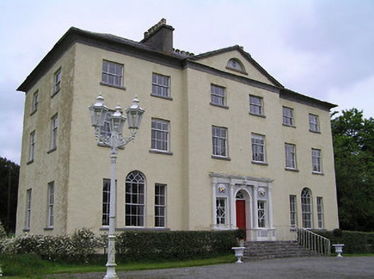 Ballyowen Housecountry house · 307 yd
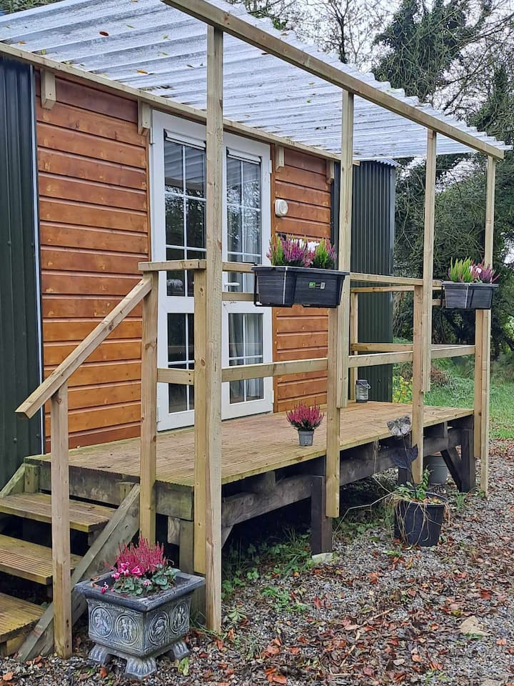 Hut site in DuallyHut site · 834 yd
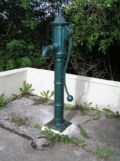 water pumpwater pump · 985 yd
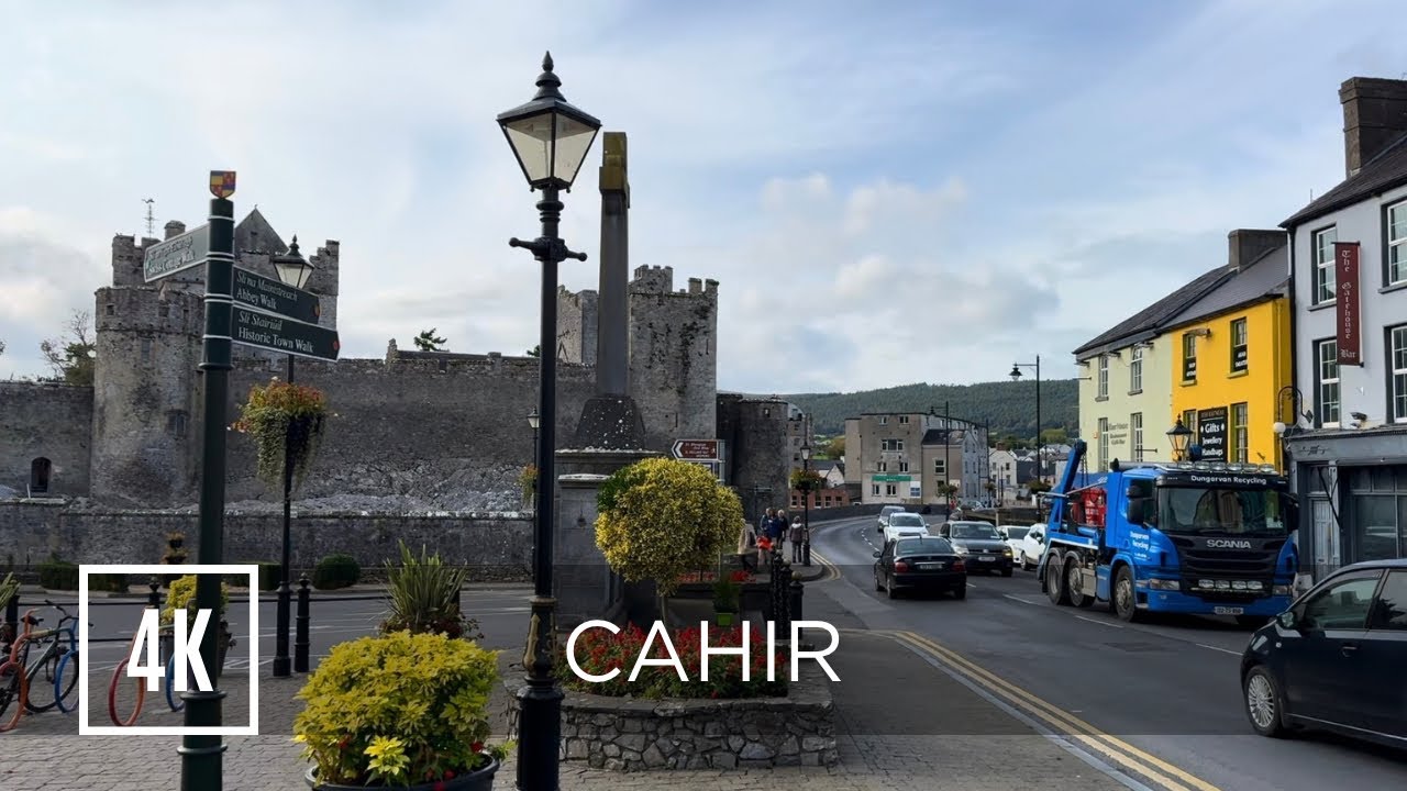 Bawn in ErryBawn · 1.1 mi
 Castle in RuinsCastle, motte and bailey · 1.1 mi
 Ballyknock HillMountain / peak · 2.0 mi
 Ballinure HillMountain / peak · 2.0 mi
 The Rock Of CashelVisitor information · 3.2 mi
 Cormac's ChapelHeritage attraction · 3.2 mi
 Rock of CashelHeritage attraction · 3.2 mi
 Black mulberryBlack mulberry · 3.3 mi
Other information
Photo: Credit not shown in the picture search · Rights wording not checked; contact us if this picture should be removed