
What is recorded here
In flat grassland at base of a W-facing hillslope in undulating countryside with good views to N, S and W, higher ground to E, stream runs N-S along side of settlement earthworks. Church and graveyard (TS053-045----/TS053-045001-), castle and bawn (TS053-045002-/TS053-045003-) and watermill (TS053-045005-) associated with adjoining earthworks. Extensive remains of low linear earthworks which appear to form several small rectangular enclosures or plots best visible to the W of the church and graveyard. No clear evidence of a hollow way or any clear house sites. Extensive remains of cultivation ridges within small fields to E of church may be contemporary with medieval settlement. These earthworks probably represent the remains fo a settlement associated with church, castle and watermill.
Compiled by: Jean Farrelly
Date of upload: 26 August 2011
The monument record does not grant public access. Check the route and ask the landowner before entering private land.
- What survives
- Recorded monument
Places near here
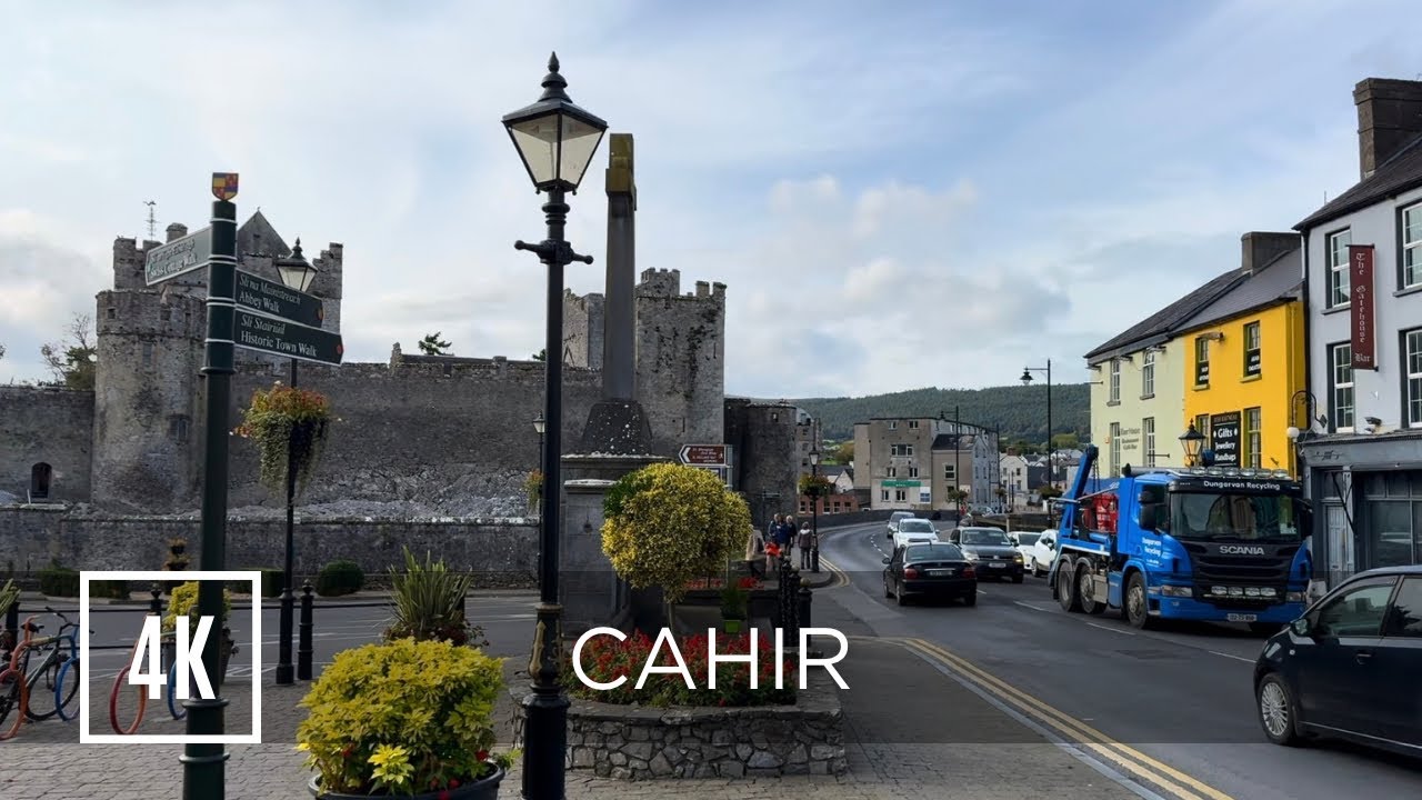 Bawn in ErryBawn · 34 yd
 Water millWater mill, horizontal-wheeled · 229 yd
 RaheenFairy fort / earthen ringfort · 972 yd
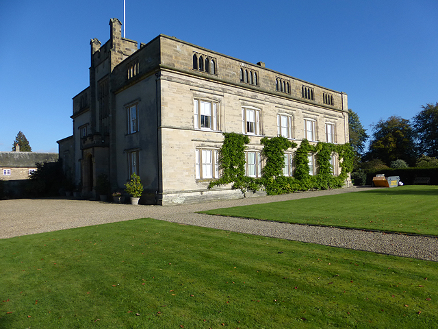 Enclosure in Grange More (erry Par.)Enclosure · 1085 yd
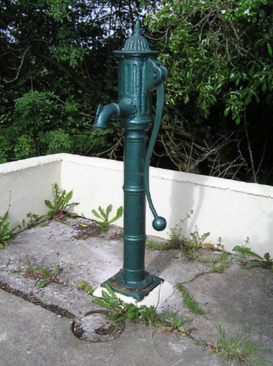 water pumpwater pump · 1105 yd
 Castle in RuinsCastle, motte and bailey · 1.3 mi
 Ballinure HillMountain / peak · 1.4 mi
 Taylor's WoodWood · 1.9 mi
 Ballyknock HillMountain / peak · 3.0 mi
 Gift Horse GalleryGallery · 4.0 mi
 Horse and JockeyVisitor information · 4.2 mi
 Cormac's ChapelHeritage attraction · 4.3 mi
Other information
Photo: Credit not shown in the picture search · Rights wording not checked; contact us if this picture should be removed