What is recorded here
In flat grassland at base of a W-facing hillslope in undulating countryside with good views to N, S and W, higher ground to E, stream 115m to W of church. Wall-footings of church (TS053-045----) visible at N end of rectangular graveyard (int. dims. 58m N-S; 34m E-W) which is defined by a low earth and stone bank (top Wth 2m; base Wth 4m; int. H 0.3m; ext. H 0.8m) which represents the grass-covered wall-footings of an original graveyard wall (wall T 0.9m). Possible castle and bawn (TS053-045002-/TS053-045003-) 100m to S and watermill (TS053-045005-) 239m to SW. Earthworks of possible deserted settlement (TS053-045004-) to W, N and S of church and graveyard.
From the National Monuments Service (Archaeological Survey of Ireland) record TS053-045001
Places near here
Photo credits
- National Inventory of Architectural Heritage
- Mike Searle, Wikimedia Commons · CC BY-SA 2.0
- Steven Brown, Geograph · Creative Commons Attribution-ShareAlike 2.0
- N Chadwick, Geograph · CC BY-SA 2.0
- Neil Theasby, Geograph · CC BY-SA 2.0
- Maker named on the Wikimedia Commons picture page · Public domain
 Settlement desertedSettlement deserted, medieval · 81 yd
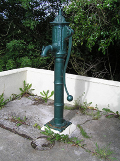 water pump1174 yd
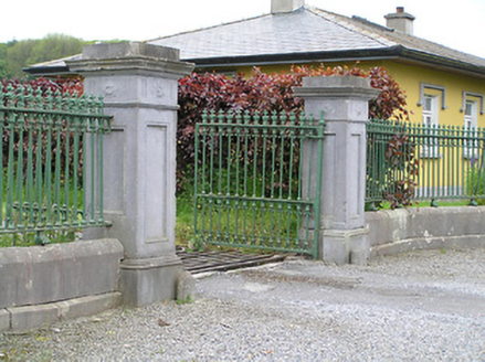 Ballyowen HouseDemesne walls/gates/railings · 1456 ydBallinure HillMountain / peak · 1.4 miTaylor's WoodWood · 1.9 mi
 Synone CastleCastle · 2.2 mi
 Grallagh CastleCastle · 2.9 mi
 Grave YardGraveyard · 4.2 mi
 Cormac's ChapelHeritage attraction · 4.3 mi
 Rock of CashelHeritage attraction · 4.3 mi
 The Rock Of CashelVisitor information · 4.3 mi
 Black mulberry4.3 mi
More archaeology and monuments in County Tipperary · All of County Tipperary
What do you know about this place?Tap to add a comment or ask a question