
What is recorded here
Mnemo is the least attractive option. The facts above are complete, clear and consistent. That means the camera, owner, setting and purpose are already known. Show the thing that is known.
In low-lying terrain in a river valley, the land rising to the W and SW and an E ridge running roughly N-S. According to the Civil Survey, in 1640 there was a 'Castle & Bawne' in Ballyherbery with 'Phillip Hackett' listed as the proprietor (Simington 1931, vol. 1, 218). A small stream runs along the N and E sides of the external base of the bawn. The tower house was located in the SW angle of the rectangular bawn (TS061-047002-). The SW angle of the bawn has an inner and outer 'skin' (H 1.6m; Wth 0.35m) which corresponds with a strenghtening of the wall for the tower house incorporated into this angle. Tie-stones and vertical scarring on the inner face of the S and W walls indicate where the N and E walls of the tower house joined onto the bawn wall and provide a internal dimension for the tower house (9m x 6m). A large lump of fallen masonry for the tower house is located 6.2m outside the S wall of the bawn, near the SW angle, where it must have fallen from a height. The OS Letters describe 'an old bawn within which, near the southwest corner, stood a castle which is now destroyed' (O'Flanagan 1930, vol.1, 108). Within the bawn and incorporated in the later building built onto the E wall of the bawn are a number of architectural fragments including chamfered stones, the chamfered sill or lintel of a narrow loop (Wth 0.14m) and the partially broken transom of a four-light window. The complex is marked as 'The Garrison' on the 1st (1840) ed. OS 6-inch map.
Compiled by: Jean Farrelly
Date of upload: 26 August 2011
Phillip Hackett held Ballyherberry in 1640, as recorded in the Civil Survey. The site is remembered as a minor defensive structure in a strategically located river valley during the turbulent period of 17th-century Irish land tenure.
This remains an important historical record, but the official description says the monument is no longer visible or has been destroyed. The monument record does not grant public access. Check the route and ask the landowner before entering private land.
- What survives
- No visible remains or recorded as destroyed
Places near here
 Kill Church (in ruins)Church · 416 yd
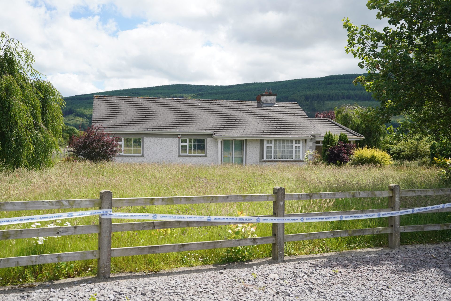 Enclosure in BallyherberryEnclosure · 641 yd
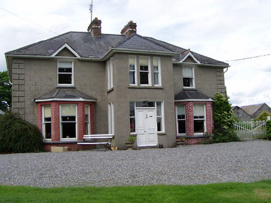 Rathmorehouse · 698 yd
 RathcloghFairy fort / earthen ringfort · 1171 yd
 Castle in RuinsCastle, motte and bailey · 1323 yd
 Meldrum Castle (ruins)Castle · 1.2 mi
 Taylor's WoodWood · 1.8 mi
 Ballinure HillMountain / peak · 1.8 mi
 Noan WoodWood · 2.5 mi
 Ballyknock HillMountain / peak · 2.9 mi
 Cashel Folk MusuemMuseum · 3.8 mi
 The Rock Of CashelVisitor information · 3.9 mi
Other information
Photo: Credit not shown in the picture search · Rights wording not checked; contact us if this picture should be removed