
What is recorded here
On ground sloping to the SW in hilly terrain which is surrounded to the N, E and W by coniferous forestry and by meadow to the S where there is a small river valley. The church is located in the NW portion of the graveyard (TS061-041001-). Only the W gable of this church (int. L 5.05m; ext. L 6.65m; Wth 1.05m) and a short length of the S wall (L 2.35m; Wth 0.8m) extending from the W gable survives. The church, aligned E-W, is composed of limestone rubble, roughly coursed. The quoins on the NW angle are gone and of the SW angle only the three lower courses survive. There is a slight base-batter on the N wall (H 0.4m; Wth 0.1m). There are some traces of internal render where dead ivy has come away from the wall. On the N side of the gable, young ivy is reasserting itself. There are two similar flat-headed single-light windows in the W gable, one above the other. There is broken-out masonry (Wth 0.4m), at the W end of the S wall, which may have been an aumbry.
Compiled by: Jean Farrelly
Date of upload: 26 August 2011
The monument record does not grant public access. Check the route and ask the landowner before entering private land.
- What survives
- Recorded monument
Places near here
 The GarrisonCastle, tower house · 416 yd
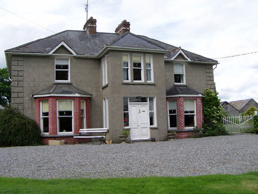 Rathmorehouse · 817 yd
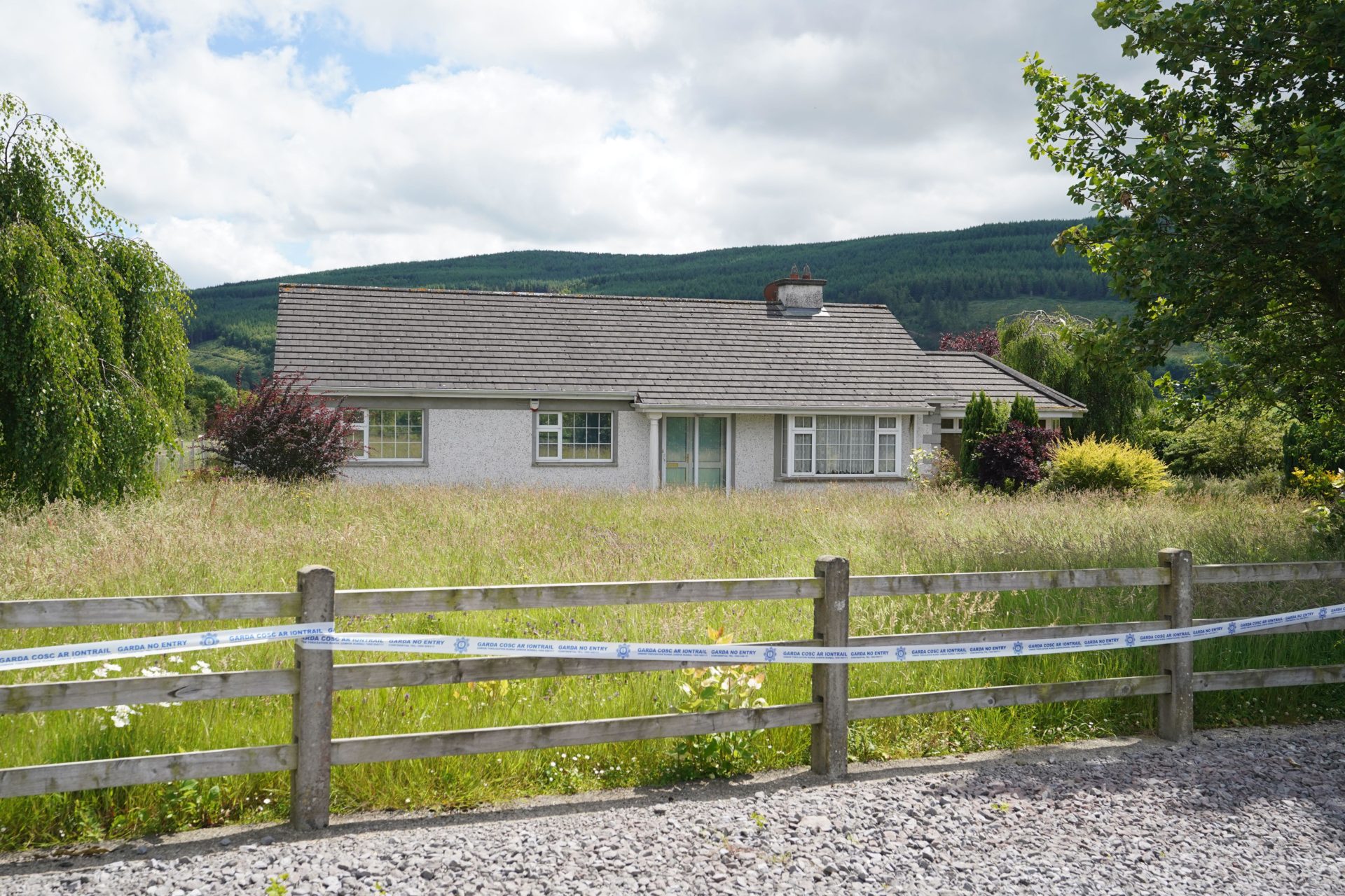 Enclosure in BallyherberryEnclosure · 943 yd
 RathcloghFairy fort / earthen ringfort · 1031 yd
 Castle in RuinsCastle, motte and bailey · 1159 yd
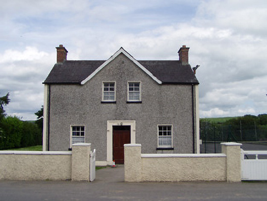 Dually Community Hallschool master's house · 1430 yd
 Taylor's WoodWood · 1.5 mi
 Ballinure HillMountain / peak · 1.6 mi
 Noan WoodWood · 2.3 mi
 Ballyknock HillMountain / peak · 3.0 mi
 Cashel Folk MusuemMuseum · 4.1 mi
 The Rock Of CashelVisitor information · 4.1 mi
Other information
Photo: Credit not shown in the picture search · Rights wording not checked; contact us if this picture should be removed