
What is recorded here
In grassland on top of a N-S ridge in upland area with good views in all directions. Motte and bailey (TS053-075----) 150m to N and ringfort (TS053-077----) 150m to NE and another ringfort (TS061-40----) 400m to S. Impressive ringfort consisting of a raised circular area (int. diam. 31m N-S; 32m E-W) enclosed by an earth and stone bank (top Wth 4m; base Wth 7m; int. H 0.6-1m; ext. H 3-5m) which gently slopes down into the interior, outer fosse (top Wth 9m; base Wth 3m; ext. D 1.6m) and possible outer bank (top Wth 4m; base Wth 4m; ext. H 1m) only visible from NW through N to NE where it is incorporated as a townland boundary. Causewayed entrance (Wth 4.5m) at E. Inner bank, fosse and outer bank have been quarried out at SSE quadrant of ringfort. This ringfort is not typical of other ringforts mentioned above given its hilltop location and defensive morphology.
Compiled by: Jean Farrelly
Date of upload: 26 August 2011
The monument record does not grant public access. Check the route and ask the landowner before entering private land.
- What survives
- Recorded monument
Places near here
 Castle in RuinsCastle, motte and bailey · 159 yd
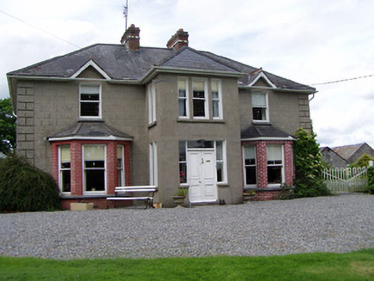 Rathmorehouse · 669 yd
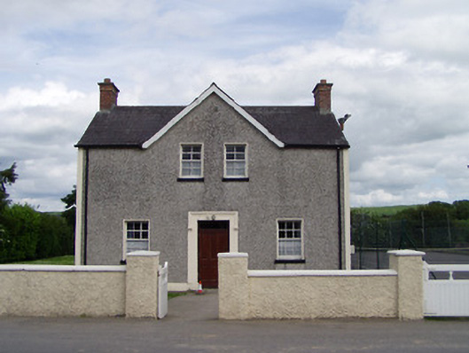 Dually Community Hallschool master's house · 844 yd
 The GarrisonCastle, tower house · 1171 yd
 RaheenFairy fort / earthen ringfort · 1549 yd
 Enclosure in Rathclogh SouthEnclosure · 1708 yd
 Ballinure HillMountain / peak · 1.3 mi
 Taylor's WoodWood · 1.5 mi
 Ballyknock HillMountain / peak · 2.8 mi
 The Rock Of CashelVisitor information · 3.9 mi
 Cashel Folk MusuemMuseum · 3.9 mi
 Cormac's ChapelHeritage attraction · 3.9 mi
Other information
Photo: Credit not shown in the picture search · Rights wording not checked; contact us if this picture should be removed