
What is recorded here
In deciduous forestry. Apparent as a low, levelled mound (H c. 0.3m) covered in dense thistles and mature, matted grasses. Depicted on first (1840) edition OS 6-inch map as a circular enclosure (diam. 20m) and depicted on 2nd (1952-4) edition OS 6-inch map as an oval area (dims. 25m N-S; 20m E-W). Ash trees located c. 8m to N at closest point.
Compiled by: Jean Farrelly
Date of upload: 26 August 2011
The monument record does not grant public access. Check the route and ask the landowner before entering private land.
- What survives
- Recorded monument
Places near here
 IndicatedEnclosure · 743 yd
 Meldrum Castle (ruins)Castle · 947 yd
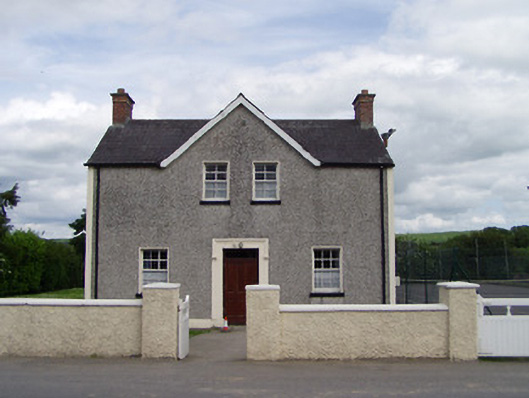 Dually Community Hallschool master's house · 1035 yd
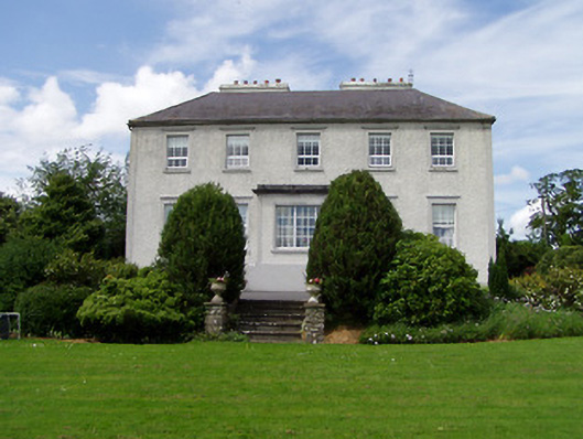 Dually Househouse · 1087 yd
 The GarrisonCastle, tower house · 1332 yd
 Enclosure in MeldrumEnclosure · 1391 yd
 Ballyknock HillMountain / peak · 2.1 mi
 Ballinure HillMountain / peak · 2.3 mi
 Taylor's WoodWood · 2.4 mi
 Cashel Folk MusuemMuseum · 3.1 mi
 The Rock Of CashelVisitor information · 3.1 mi
 Cormac's ChapelHeritage attraction · 3.1 mi
Other information
Photo: Credit not shown in the picture search · Rights wording not checked; contact us if this picture should be removed