What is recorded here
In well-drained, slightly rolling pasture. This is the W example of two stones (see also LF007-005002-) marked on the revised edition of the OS 6-inch map (surveyed 1879) and named 'Standing stones'; the name is in not printed in Gothic script, the font used to denote antiquities. A report, dated 1944, recorded 'two huge standing stones, each 8 [2.4m] or 9 feet [2.7m] in height and standing about 30 yds. [27.4m] apart' (ITA Survey). No visible remains. The megalithic tomb-like structure that now occupies the site was erected by the landowner (SMR file 1999; Fredengren et al. 2010, 105, Pl. 3.13). It is composed of two upright slabs (H of N slab 1.05m; H of S slab 1.4m) with a 'capstone' (L 1.8m) over them. According to the landowner, all of these boulders once lay on the ground. Their dimensions suggest that it is unlikely that either of the possible standing stones were incorporated in this feature.
Compiled by: Patrick F. O'Donovan
Date of upload: 16 November 2011
The monument record does not grant public access. Check the route and ask the landowner before entering private land.
- What survives
- Recorded monument
Places near here
 BarrowBarrow, ring-barrow · 422 yd
 FortsFairy fort / earthen ringfort · 515 yd
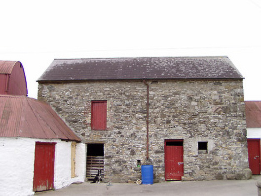 Columbia Houseoutbuilding · 1068 yd
 CartronfreeMountain / peak · 1124 yd
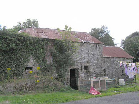 Clooneen Millmill (water) · 1349 yd
 IdicatedCastle, unclassified · 2.0 mi
 Bakers FortCastle, ringwork · 2.3 mi
 ToomeMountain / peak · 2.4 mi
 1798 Monumentmonument · 2.4 mi
 Granard MotteMotte-and-bailey castle remains · 2.5 mi
 Moynagh Upper ForestForest · 3.1 mi
 Derrycassan WoodsWood · 3.1 mi