
What is recorded here
On a low but prominent hillock in otherwise relatively flat pasture affording excellent views in all directions. A report in 1975 (SMR file) described it as a circular area (diam. c. 11m) enclosed by a low bank of earth and stone with a wide, shallow external fosse. The internal ground level rose from the perimeter to the centre of the interior where there was an irregularly shaped depression. The monument has since been levelled and is not visible at ground level.
Compiled by: Patrick F. O'Donovan
Date of upload: 26 August 2011
A ring-barrow, likely dating to the Early Bronze Age. Its elevated position suggests it was a significant funerary or ceremonial site, possibly used for elite burials.
The monument record does not grant public access. Check the route and ask the landowner before entering private land.
- What survives
- Recorded monument
Places near here
 FortsFairy fort / earthen ringfort · 700 yd
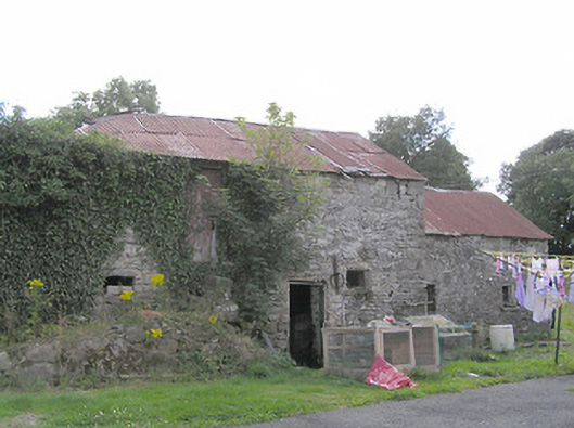 Clooneen Millmill (water) · 927 yd
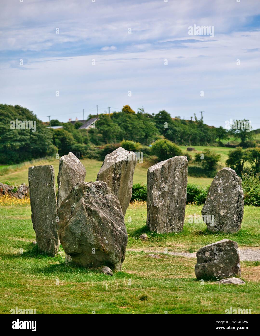 Druids AltarMegalithic tomb · 1081 yd
 CartronfreeMountain / peak · 1373 yd
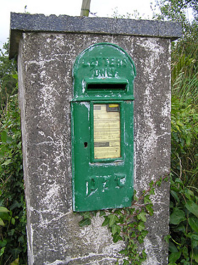 post boxpost box · 1416 yd
 IdicatedCastle, unclassified · 2.1 mi
 ToomeMountain / peak · 2.3 mi
 Bakers FortCastle, ringwork · 2.3 mi
 1798 Monumentmonument · 2.4 mi
 Granard MotteMotte-and-bailey castle remains · 2.5 mi
 Derrycassan WoodsWood · 2.9 mi
 Moynagh Upper ForestForest · 3.3 mi
Other information
Photo: Credit not shown in the picture search · Rights wording not checked; contact us if this picture should be removed