What is recorded here
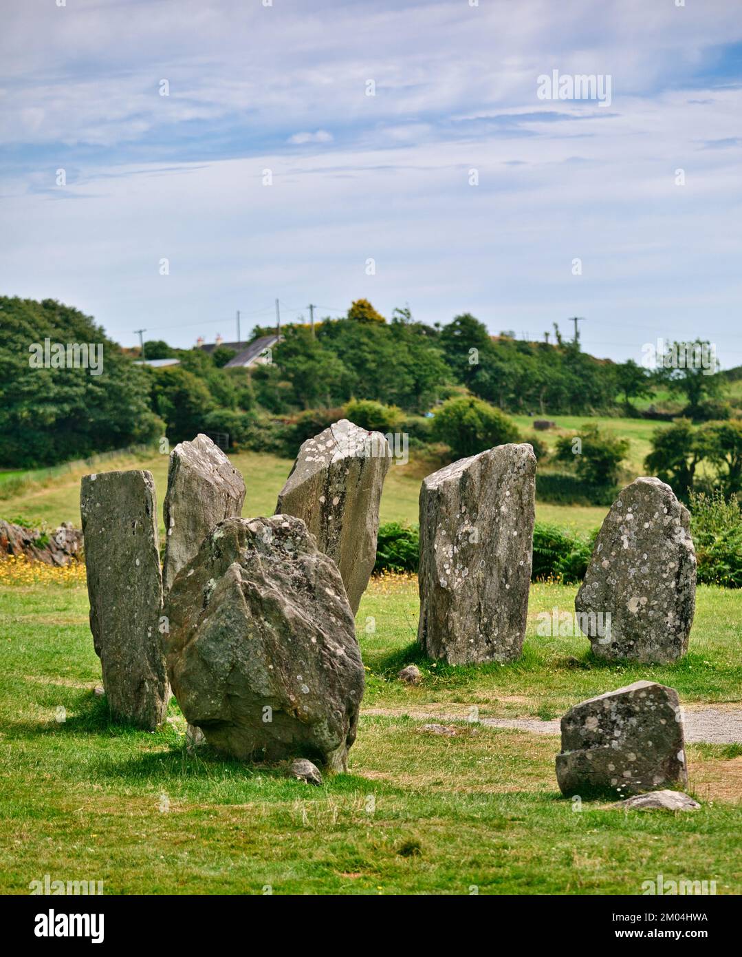
On a slight slope in farmland. Not indicated on the 1837 or 1887 eds. of the OS 6-inch map. An upright stone (H 1m), aligned approximately E-W, stands 2.5m E of two prostrate slabs, the larger almost 2m in maximum dimension. Although not included by de Valera and Ó Nualláin (1972, 89) in their main list these three stones might be the last vestiges of a megalithic tomb. (ITA Survey 1944; de Valera and Ó Nualláin 1972, 89, no. 2)
Compiled by: Eamon Cody
Date of upload: 22 November 2012
See linked documents with plan (LF011-004----_02) and details (LF011-004----_01) from Ruaidhrí de Valera and Seán Ó Nualláin, Survey of the Megalithic Tombs of Ireland. Volume III. Counties Galway, Roscommon, Leitrim, Longford, Westmeath, Laoighis, Offaly, Kildare, Cavan. (Dublin: Stationery Office, 1972).
Portal dolmen; likely dates to the Neolithic or early Bronze Age. Its significance lies in its megalithic construction and possible ritual or ceremonial function in a prehistoric landscape.
The monument record does not grant public access. Check the route and ask the landowner before entering private land.
- What survives
- Recorded monument
Places near here
 FortsFairy fort / earthen ringfort · 521 yd
 Burnt mound in AghnagarronBurnt mound · 863 yd
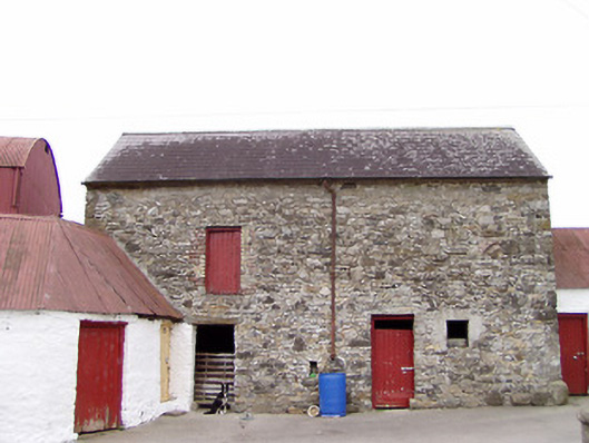 Columbia Houseoutbuilding · 970 yd
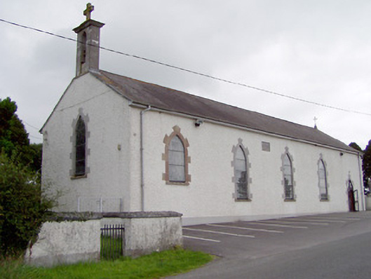 Saint Mary's Catholic Churchchurch/chapel · 1158 yd
 CartronfreeMountain / peak · 1.2 mi
 Bakers FortCastle, ringwork · 1.7 mi
 1798 Monumentmonument · 1.8 mi
 Granard MotteMotte-and-bailey castle remains · 1.9 mi
 CastleCastle, unclassified · 1.9 mi
 ToomeMountain / peak · 2.9 mi
 Derrycassan WoodsWood · 3.2 mi
 Moynagh Upper ForestForest · 3.5 mi
Other information
Photo: Credit not shown in the picture search · Rights wording not checked; contact us if this picture should be removed