
What is recorded here
Forty metres across and no more than a metre high, the fort at Cornadowagh has spent centuries being mistaken for a field bank, its stone and earth absorbed into the boundary of ordinary farmland. Two rings sit close together on the same slope, perhaps neighbours, perhaps ancestors, but the scrub has swallowed every doorway and room that would have answered the question. What remains is a ridge of patience, holding its shape long after the hands that shaped it disappeared.
On a terrace on a NE-facing slope. A raised oval area (34.5m E-W; 27m N-S) defined by a scarp (H 1-1.6m), which has been has been modified and incorporated into a field bank from ESE-S-SW. There is no trace of a fosse and the original entrance is not recognisable. Another rath (LF 011-003----) lies c. 12m to the E.
Compiled by: Patrick F. O'Donovan
Date of upload: 29 November 2011
This remains an important historical record, but the official description says the monument is no longer visible or has been destroyed. The monument record does not grant public access. Check the route and ask the landowner before entering private land.
- What survives
- No visible remains or recorded as destroyed
Places near here
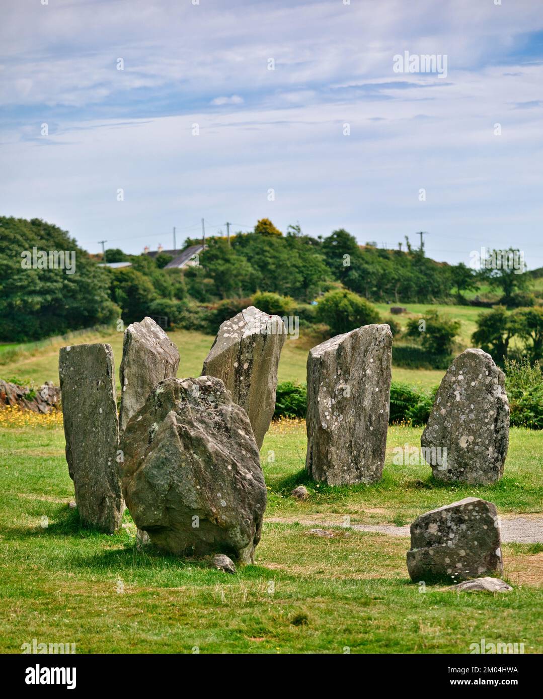 Druids AltarMegalithic tomb · 521 yd
 BarrowBarrow, ring-barrow · 700 yd
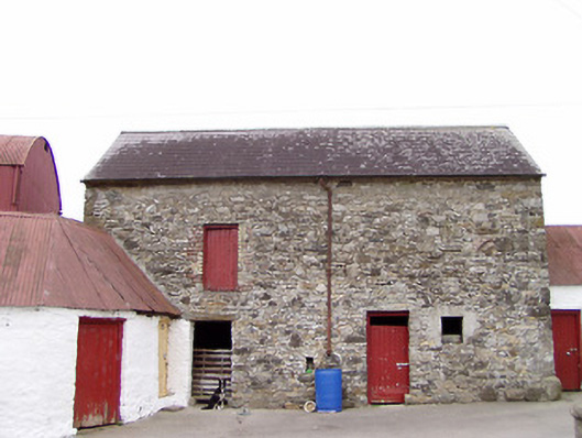 Columbia Houseoutbuilding · 798 yd
 Clooneen Millmill (water) · 1489 yd
 CartronfreeMountain / peak · 1577 yd
 Bakers FortCastle, ringwork · 2.0 mi
 1798 Monumentmonument · 2.1 mi
 Granard MotteMotte-and-bailey castle remains · 2.2 mi
 CastleCastle, unclassified · 2.2 mi
 ToomeMountain / peak · 2.6 mi
 Derrycassan WoodsWood · 3.2 mi
 Moynagh Upper ForestForest · 3.2 mi
Other information
Photo: Credit not shown in the picture search · Rights wording not checked; contact us if this picture should be removed