What is recorded here
Monument surveyed by ASI and described in 1977 as following; ‘This site has been destroyed. It was marked on the 1912 ed. OS 6-inch map as an oval embankment with a field fence running N-S through it. The site has been completely leveled on both sides of the field fence and all that remains is a small oval knoll with no trace of any artificial scarping or banks or fosses. The fields on both sides of the fence have been tilled and that to the E of the fence is now under barley while that to the W is under barley and cabbage. It is not now possible to say what form the site took originally but it was probably a ringfort. No features are now visible. The site was on a hill on the W slope , N of the summit of a large N-S ridge. It was overlooked on the E by higher ground but there are very extensive views to the NW, W and SW’ (ASI File 12/09/1977).
Compiled by: Caimin O'Brien
Date of upload: 16 February 2013
This remains an important historical record, but the official description says the monument is no longer visible or has been destroyed. The monument record does not grant public access. Check the route and ask the landowner before entering private land.
- What survives
- No visible remains or recorded as destroyed
Places near here
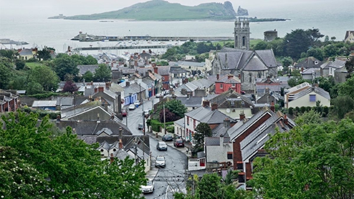 Partially hachuredFairy fort / earthen ringfort · 180 yd
 CastleCastle, motte · 376 yd
 IndicatedEnclosure · 659 yd
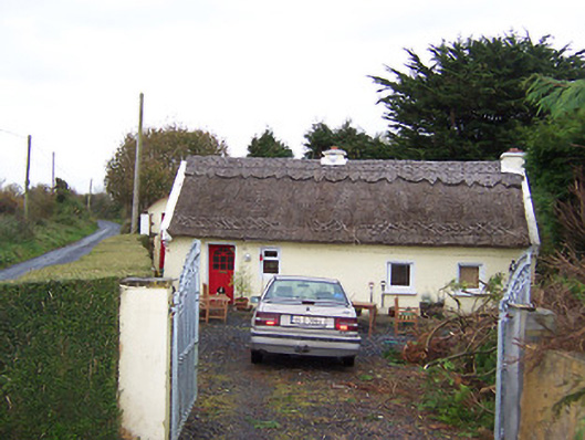 The Thatchhouse · 956 yd
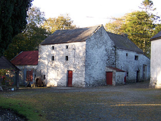 mill (water)mill (water) · 1050 yd
 Killalea FortCastle, motte · 1692 yd
 Sam's ParkForest · 3.5 mi
 Kilmalady HillMountain / peak · 4.5 mi
 Japanese pagoda treeJapanese pagoda tree · 4.7 mi
 Moate HillMountain / peak · 8.2 mi
 Charles BianconiMemorial · 8.3 mi
 Clara Bog BoardwalkHeritage attraction · 8.3 mi