
What is recorded here
Indicated is a semi-circular graveyard in County Louth, Ireland, measuring 38 metres east-west and 26 metres north-south, with church remains at its northwest edge. The shape suggests a community that gathered around a central belief, marking death as a continuation rather than an end. The preserved church foundations anchor the site in a specific time and purpose, even when the names and dates have faded from memory.
Semi-circular shaped graveyard (map dims. 38m E-W; 26m N-S) with remains of church (LH016-003001-) at NW.
Compiled by: Claire Breen
Date of upload: 19 June 2012
The monument record does not grant public access. Check the route and ask the landowner before entering private land.
- What survives
- Recorded monument
Places near here
 Church in ruinsChurch · 7 yd
 Enclosure in SalterstownEnclosure · 114 yd
 ToberhullamagHoly well · 362 yd
 CastleCastle, tower house · 1.4 mi
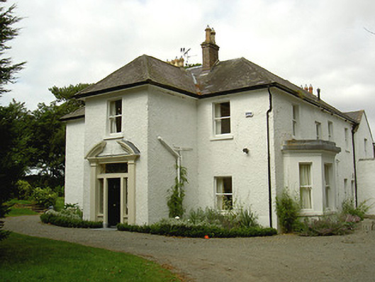 Ballygassan Househunting/fishing lodge · 1.7 mi
 Tullydonnell HillMountain / peak · 2.8 mi
 Graveyard in DysartGraveyard · 3.3 mi
 GreenmountCastle, motte and bailey · 3.4 mi
 Sweet baySweet bay · 3.6 mi
 European YewEuropean Yew · 3.6 mi
 Drummeenagh HillMountain / peak · 4.4 mi
 Chapel (in Ruins), GraveyardChurch · 4.8 mi
Other information
Photo: Kieran Campbell · Creative Commons Attribution-ShareAlike 2.0