What is recorded here
Rathtoe hides a circular enclosure thirty-five metres across, visible only when crop growth reveals its twin ditches. It resists easy labels because it matches neither a typical ringfort nor a barrow. The land keeps its shape beneath ordinary sight, waiting for dry seasons or patient imagination to bring it back.
The following description is derived from the published 'Archaeological Inventory of County Carlow' (Dublin: Stationery Office, 1993). In certain instances the entries have been revised and updated in the light of recent research.
Date of upload/revision: 17 July 2007
Aerial photographs (CUCAP BDO 52, 53) show faint cropmark of two concentric, well spaced fosses enclosing approximately circular area (max. diam. c. 35m (inner), 45m (outer)). No visible surface traces. Cropmark does not appear to be either of ringfort or ring-barrow.
The monument record does not grant public access. Check the route and ask the landowner before entering private land.
- What survives
- Recorded monument
Places near here
 Saint Patrick's Catholic Churchchurch/chapel · 437 yd
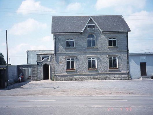 school master's houseschool master's house · 491 yd
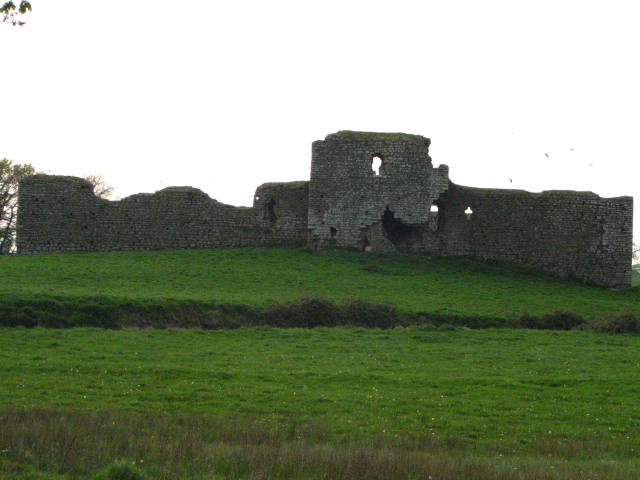 Enclosure in Inchisland OR MoatalushaEnclosure · 707 yd
 Rath MahonFairy fort / earthen ringfort · 1032 yd
 Site of CastleCastle, unclassified · 1.3 mi
 Kilmurry Church (in ruins), GraveyardChurch · 1.5 mi
 Ballynunnery Castle in ruinsCastle, unclassified · 1.9 mi
 Church (in ruins), GraveyardChurch · 3.0 mi
 Pedunculate OakPedunculate Oak · 3.5 mi
 European ashEuropean ash · 3.6 mi
 Brownshill Portal TombVisitor information · 4.7 mi
 Duckett's GroveHeritage attraction · 4.7 mi