
What is recorded here
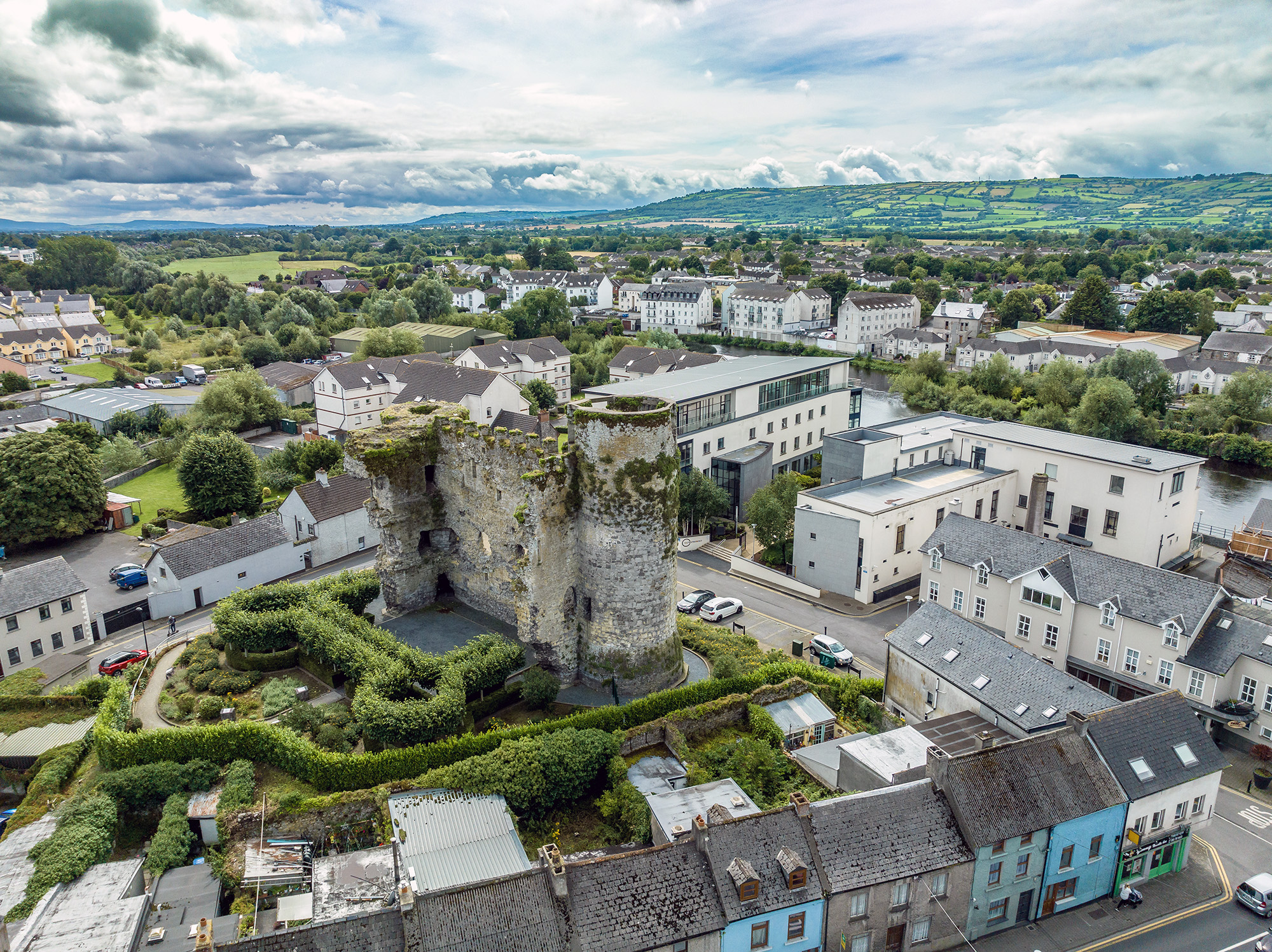
Ballynunnery Castle in County Carlow keeps a twelve-foot tower and walls five feet thick, large enough to suggest a substantial home rather than a temporary shelter. Dineley drew two tall square towers in 1680, meaning the castle still stood proud when guns and maps were changing Ireland. The castle became a farm, the farm became ruins, and the ruins became a story about what people valued enough to build tall and what they abandoned when life moved on.
The following description is derived from the published 'Archaeological Inventory of County Carlow' (Dublin: Stationery Office, 1993). In certain instances the entries have been revised and updated in the light of recent research.
Date of upload/revision: 17 July 2007
OS Namebooks record 'the ruins of a Castle … with part of one tower standing'. According to O'Toole (JKAS 1933, 301, 304-5) who includes a photograph, 'portion of the tower … is about 12 feet in height, and has walls 5 feet thick. Several of the out houses of the present farm house, seem to be have been portion of the out buildings of the Castle. In one there is a splayed window, which is 2 feet 10 inches wide inside, and narrows to 1 foot 8 inches on the outside; the wall is 3 feet thick'. Tower and some out houses have been levelled. Remains appear to belong to fairly substantial building. Down Survey (1655-6) map records castle and mill downstream (CW013-021----). Dineley's sketch of 1680 shows a complex of buildings including two tall square, gabled towers but no obvious signs of fortification (JRSAI 1862-3, 46-7).
Ballynunnery Castle was built in the 17th century by the Butler family, who were prominent landowners in the region. It is remembered as an example of early Irish country house architecture and for its historical association with one of the most influential noble families in Leinster.
The monument record does not grant public access. Check the route and ask the landowner before entering private land.
- What survives
- Recorded monument
Places near here
 Kilmurry Church (in ruins), GraveyardChurch · 658 yd
 Font in GilbertstownFont · 737 yd
 Enclosure in GilbertstownEnclosure · 765 yd
 Site of CastleCastle, unclassified · 1289 yd
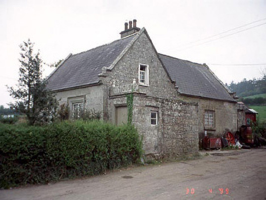 Graiguenaspiddoge National Schoolschool · 1.1 mi
 Church (in ruins), GraveyardChurch · 1.2 mi
 Graiguenaspiddoge Castle in ruinsCastle, tower house · 1.2 mi
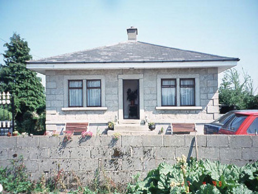 Kilknock Housegate lodge · 1.3 mi
 Brownshill Portal TombVisitor information · 4.9 mi
 Common LimeCommon Lime · 5.0 mi
 Scots PineScots Pine · 5.2 mi
 Altamont Gardens MapVisitor information · 5.3 mi
Other information
Photo: Credit not shown · Copyright shown; no reuse licence shown