
What is recorded here
Kellistown West castle appeared on the Down Survey map in 1655-6, but human hands had already reduced it to level ground before 1839. Fields and drains crossed the site afterward, hiding the castle beneath ordinary farmland. What remains is absence: a removed fortress remembered only through the shape of the land and the lines drawn across it.
The following description is derived from the published 'Archaeological Inventory of County Carlow' (Dublin: Stationery Office, 1993). In certain instances the entries have been revised and updated in the light of recent research.
Date of upload/revision: 17 July 2007
Castle recorded here on Down Survey (1655-6) map. Levelled sometime before 1839 (OSL 1839, 15). Series of field drains may relate to former castle.
The monument record does not grant public access. Check the route and ask the landowner before entering private land.
- What survives
- Recorded monument
Places near here
 Kilmurry Church (in ruins), GraveyardChurch · 720 yd
 Font in Kellistown EastFont · 1218 yd
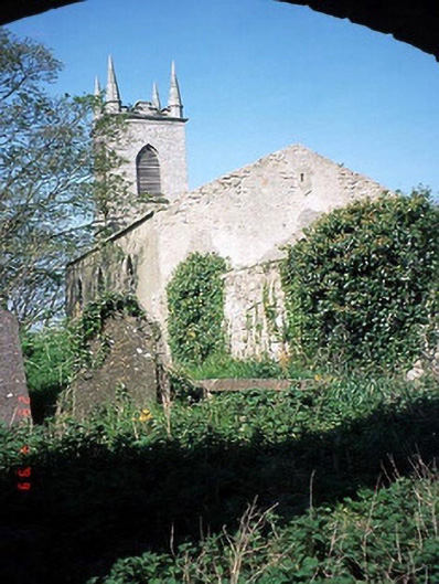 Saint Patrick's Church (Kellistown)church/chapel · 1227 yd
 Kellistown ChurchRuins · 1227 yd
 Ballynunnery Castle in ruinsCastle, unclassified · 1289 yd
 Enclosure in Kellistown EastEnclosure · 1336 yd
 Graiguenaspiddoge Castle in ruinsCastle, tower house · 1.8 mi
 Church (in ruins), GraveyardChurch · 1.8 mi
 Pedunculate OakPedunculate Oak · 2.4 mi
 Brownshill Portal TombVisitor information · 4.3 mi
 European ashEuropean ash · 4.9 mi
 Altamont Gardens MapVisitor information · 5.5 mi
Other information
Photo: Credit not shown in the picture search · Rights wording not checked; contact us if this picture should be removed