What is recorded here
In tillage. A roughly oval enclosure (dims. c. 32m N-S; c. 37m E-W) identified as a cropmark by Faith Bailey on satellite imagery (Google Earth Pro, imagery date 14 July 2018). The cropmark of a field boundary runs E from the SE sector for c. 44m before turning south-eastward. Another field boundary, also visible as a cropmark is visible running S from a slightly larger enclosure (CW013-125----) which is 50m to the NNE.
See attached image:
CW013-126----_01 Google Earth Pro Image © 2019 CNES/Airbus
Compiled by: Jean Farrelly
Date of upload: 21 October 2019
The monument record does not grant public access. Check the route and ask the landowner before entering private land.
- What survives
- Recorded monument
Places near here
 RathtoeEnclosure · 524 yd
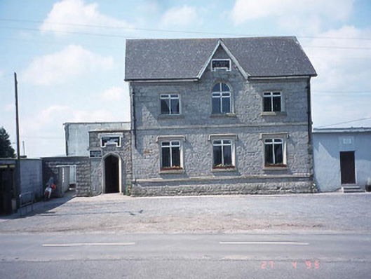 school master's houseschool master's house · 979 yd
 Saint Patrick's Catholic Churchchurch/chapel · 1048 yd
 Enclosure in BendinstownEnclosure · 1062 yd
 Kilmurry Church (in ruins), GraveyardChurch · 1411 yd
 Site of CastleCastle, unclassified · 1487 yd
 Ballynunnery Castle in ruinsCastle, unclassified · 1.1 mi
 Church (in ruins), GraveyardChurch · 2.2 mi
 Pedunculate OakPedunculate Oak · 3.2 mi
 European ashEuropean ash · 4.4 mi
 Altamont Gardens MapVisitor information · 4.7 mi
 Altamont House and GardensHeritage attraction · 4.8 mi