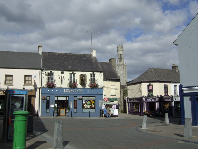
What is recorded here
The following description is derived from the published 'Archaeological Inventory of County Carlow' (Dublin: Stationery Office, 1993). In certain instances the entries have been revised and updated in the light of recent research.
Date of upload/revision: 17 July 2007
Shown as circular enclosure on 1839 'OS 6-inch' map and described by O'Donovan as a 'broken rath' (OSL 1839, 127) (est diam. c. 40m). Small portion of bank at NE incorporated in the field boundary with Ardbearn townland. Possibly a ringfort.
The monument record does not grant public access. Check the route and ask the landowner before entering private land.
- What survives
- Recorded monument
Places near here
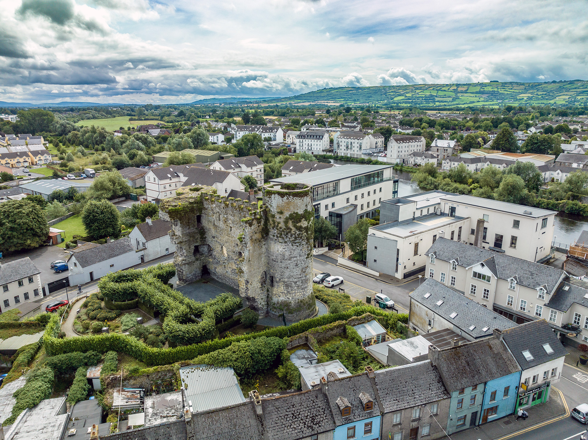 Font in GilbertstownFont · 649 yd
 Enclosure in GilbertstownEnclosure · 732 yd
 Kilmurry Church (in ruins), GraveyardChurch · 1051 yd
 Ballynunnery Castle in ruinsCastle, unclassified · 1252 yd
 Site of CastleCastle, unclassified · 1611 yd
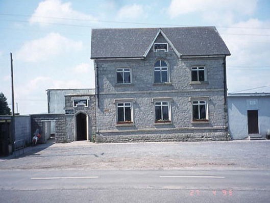 school master's houseschool master's house · 1.2 mi
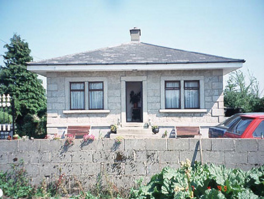 Kilknock Housegate lodge · 1.2 mi
 Church (in ruins), GraveyardChurch · 1.7 mi
 Pedunculate OakPedunculate Oak · 3.1 mi
 Scots PineScots Pine · 4.6 mi
 Altamont Gardens MapVisitor information · 4.6 mi
 Altamont House and GardensHeritage attraction · 4.7 mi
Other information
Photo: Credit not shown in the picture search · Rights wording not checked; contact us if this picture should be removed