What is recorded here
Circular enclosure visible on aerial photograph (CUCAP BDO 53). On raised ground overlooking Burren River to the S. Slight dip noted when inspected by ASI in 1988.
Compiled by: Claire Breen
Date of upload: 19 August 2011
The monument record does not grant public access. Check the route and ask the landowner before entering private land.
- What survives
- Recorded monument
Places near here
 Saint Patrick's Catholic Churchchurch/chapel · 297 yd
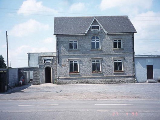 school master's houseschool master's house · 298 yd
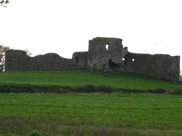 Enclosure in Inchisland OR MoatalushaEnclosure · 863 yd
 Rath MahonFairy fort / earthen ringfort · 1037 yd
 Site of CastleCastle, unclassified · 1.2 mi
 Kilmurry Church (in ruins), GraveyardChurch · 1.4 mi
 Ballynunnery Castle in ruinsCastle, unclassified · 1.7 mi
 Church (in ruins), GraveyardChurch · 2.9 mi
 Pedunculate OakPedunculate Oak · 3.4 mi
 European ashEuropean ash · 3.8 mi
 Brownshill Portal TombVisitor information · 4.6 mi
 Duckett's GroveHeritage attraction · 4.8 mi