What is recorded here
Situated in relatively low-lying pasture and overlooked by higher gently undulating pasture restricting the surrounding views. A rectilinear-shaped earthwork (WM025-100----) lies c. 200m to NW. Depicted on the 1837 ed. OS map as a rectilinear-shaped tree-lined earthwork. Monument described in 1977 as no surface remains visible. Possible levelled moated site reused as a landscape feature or potentially a tree-lined enclosure of post-1700 date.
Compiled by Alison McQueen, Vera Rahilly and Caimin O’Brien.
Date of upload: 23 September 2019
The monument record does not grant public access. Check the route and ask the landowner before entering private land.
- What survives
- Recorded monument
Places near here
 Dotted outlineFairy fort / earthen ringfort · 840 yd
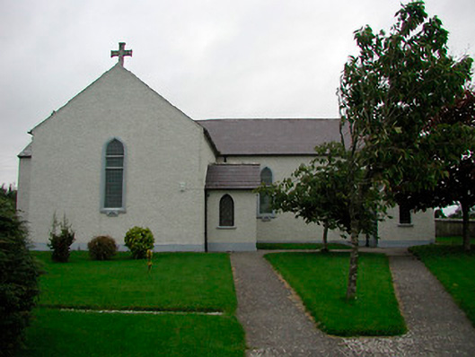 Saint Patrick's Catholic Churchchurch/chapel · 1111 yd
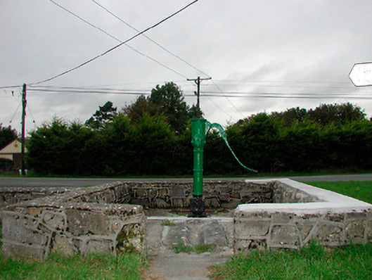 water pumpwater pump · 1314 yd
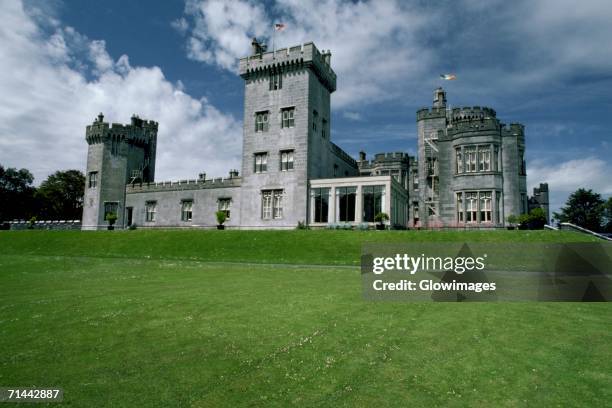 Glomerstown CastleCastle, unclassified · 1531 yd
 Tober BaoithenHoly well · 1654 yd
 Rathdrishoge CastleCastle, unclassified · 1.0 mi
 Hill of UisneachMountain / peak · 3.9 mi
 European ashEuropean ash · 4.6 mi
 Ancient Ring FortWood · 5.3 mi
 Bonfire HillMountain / peak · 7.8 mi
 Kilmalady HillMountain / peak · 8.0 mi
 St. Columba's WellSpring · 9.8 mi