
What is recorded here
The fairy fort or earthen ringfort in Nodstown is in County Tipperary, Ireland. The 2011 source places its 40-metre north-south by 38-metre east-west circular area in wet, poorly drained land. A low earthen bank and outer ditch enclose it, with the ditch recorded as best visible at south. The same account records no visible entrance feature and a named well 20 metres to the east.
In wet flat poorly drained land with good views in all directions, nearby named well 20m to E. Ringfort consists of a circular area (int. diam. 40m N-S; 38m E-W) enclosed by a low earthen bank (top Wth 0.8m; base Wth 3m;int. H 0.2m; ext. H 0.5m) and outer fosse (base Wth 1.4m; top Wth 3.6m; ext. D 0.4m) best visible at S. No entrance feature visible.
Compiled by: Jean Farrelly
Date of upload: 26 August 2011
The monument record does not grant public access. Check the route and ask the landowner before entering private land.
- What survives
- Recorded monument
Places near here
 Ardmayle MoatCastle, motte and bailey · 867 yd
 Enclosure in LongfieldEnclosure · 872 yd
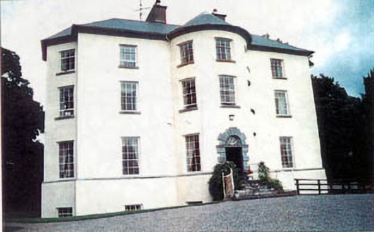 Longfield Housecountry house · 949 yd
 Settlement desertedSettlement deserted, medieval · 1089 yd
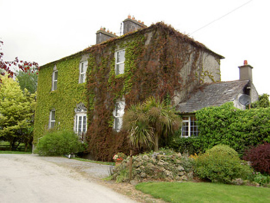 Forte Edwardcountry house · 1089 yd
 Indicated, RaheenbegCastle, ringwork · 1107 yd
 Clonoulty HillMountain / peak · 3.2 mi
 Ballyknock HillMountain / peak · 3.4 mi
 Rock of CashelHeritage attraction · 3.9 mi
 Cormac's ChapelHeritage attraction · 3.9 mi
 The Rock Of CashelVisitor information · 3.9 mi
 Black mulberryBlack mulberry · 4.1 mi
Other information
Photo: Credit not shown in the picture search · Rights wording not checked; contact us if this picture should be removed