
What is recorded here
In grassland atop natural rise of ground in undulating grassland with good views in all directions. Ringwork consists of a raised platform (diam. 33m N-S; 35m E-W) defined by a scarp (H 1.5m) with a small old quarry (D 1.4m; 10m N-S x 20m E-W) which is depicted on the 1840 ed. OS 6-inch map in S quadrant. Platform intersected by a field boundary at S on an E-W axis. Well-preserved platform with evidence of quarrying in S quadrant and on the external face of the scarp at NW. No entrance feature visible.
Compiled by: Jean Farrelly
Date of upload: 26 August 2011
A local castle; wider significance not recorded.
The monument record does not grant public access. Check the route and ask the landowner before entering private land.
- What survives
- Recorded monument
Places near here
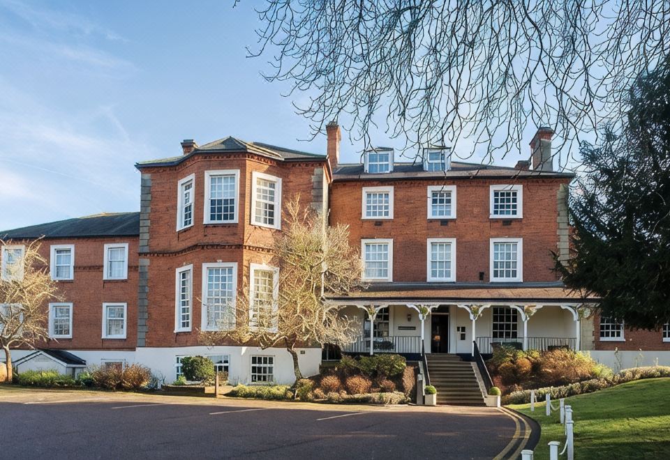 Enclosure in LongfieldEnclosure · 613 yd
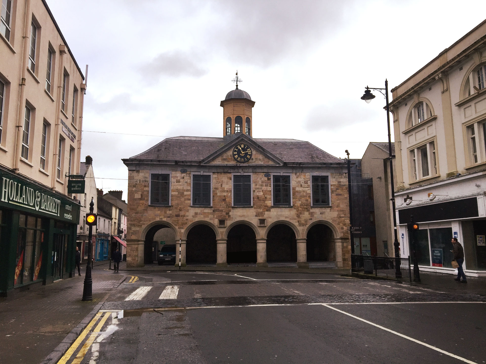 IndicatedCastle, ringwork and bailey · 731 yd
 Nodstown CastleCastle, tower house · 763 yd
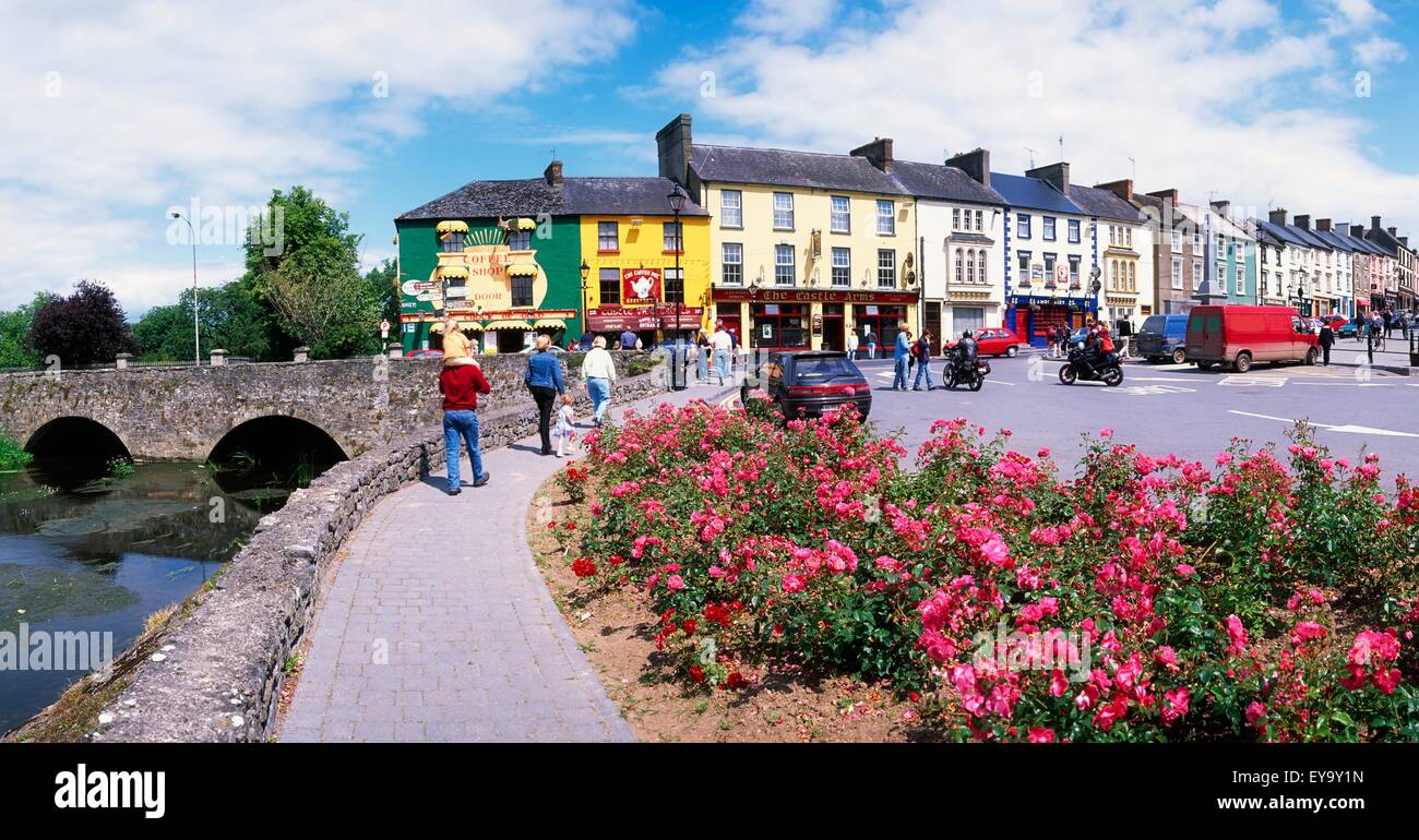 ToberaphaddreenHoly well · 1008 yd
 Catholic Church of the Immaculate Conceptionchurch/chapel · 1551 yd
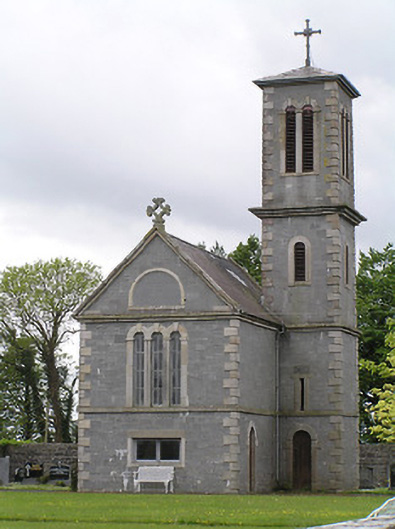 Saint Catherine's Catholic Chapelchurch/chapel · 1578 yd
 Clonoulty HillMountain / peak · 3.0 mi
 Ballyknock HillMountain / peak · 3.8 mi
 Rock of CashelHeritage attraction · 4.4 mi
 Cormac's ChapelHeritage attraction · 4.4 mi
 The Rock Of CashelVisitor information · 4.4 mi
 Black mulberryBlack mulberry · 4.6 mi
Other information
Photo: Credit not shown in the picture search · Rights wording not checked; contact us if this picture should be removed