What is recorded here
Ardmayle Castle stands as a ruined bawn beside the River Suir, its limestone walls enclosing a fortified house that likely guarded the waterway during turbulent times. The broken steps and gun-loop suggest residents watched for danger rather than merely enjoying the pastureland. Modern buildings later pressed against the ancient wall show people kept returning to this strong place long after its military purpose faded.
On a platform on a break of a W-facing slope. The River Suir flows NE-SW 50m to the NW, in undulating pastureland. An earthwork 'Forte Edward' (TS052-034001-) is clearly visible c. 200m to the ESE. A large rectangular bawn (dims. c. 120m N-S; c. 50m E-W) of limestone rubble roughly coursed with a fortified house (TS052-034011-) roughly centrally placed in the interior (20.7m from the W side of the bawn and 14m from the E side of the bawn) on an earthen platform defined by scarp which runs E-W 31.2m N of the fortified house and curves southward 8.8m E of the house. The E wall (max. H 3.65m; T 0.8m) is the best preserved, towards the N end there is a entrance (Wth 2.92m) with piers that project internally (N pier Wth 0.98m; D 0.23m; S pier Wth 0.81m), though there is no draw-bar hole. On the S side of the entrance, in the interior, there is evidence of an internal structure (ext. dims. 6.55m N-S; wall T 0.64m), possibly a guard-house. The southern portion of the W wall (max. H c. 4m; T c. 1-1.4m) is the best preserved, with an entrance opposite the fortified house towards the river. The S side is broken out, the present gap is 4.2m wide, approximately a metre wider than the original entrance, as the draw-bar hole (Wth 0.16m; H 0.17m) on the N side is 3.15m deep. S of this by 15.7m and approx. 18m from the SW angle, there are internal steps, broken out, in the thickness of the wall probably giving access to a wall-walk. At the S end of the W wall there is evidence of later buildings built up against the external face of the wall, with inserted fireplaces and chimney flues. Only 4.5m of the W wall survives N of the entrance, ending in an internally splaying embrasure, probably for a gun-loop. Sections of the S wall survive, including the SW angle but the NW angle is gone and a modern wall (L 8.5m) runs along the line of the eastern end of the S wall. A length (17.5m) of the western end of the N wall survives, elsewhere a modern wall has been built on the line of the eastern half of this bawn wall and the NW and NE angles do not survive.
Compiled by: Jean Farrelly
Date of upload: 26 August 2011
The monument record does not grant public access. Check the route and ask the landowner before entering private land.
- What survives
- Recorded monument
Places near here
 Ardmayle CastleCastle · 34 yd
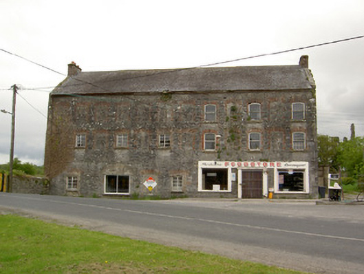 mill (water)mill (water) · 146 yd
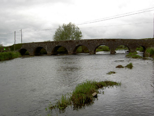 Ardmayle Bridgebridge · 180 yd
 Settlement desertedSettlement deserted, medieval · 325 yd
 Grave YardGraveyard · 427 yd
 Castle in RuinsCastle, tower house · 502 yd
 Ballyknock HillMountain / peak · 3.2 mi
 Rock of CashelHeritage attraction · 3.5 mi
 Hore AbbeyHeritage attraction · 3.5 mi
 The Rock Of CashelVisitor information · 3.5 mi
 Black mulberryBlack mulberry · 3.6 mi
 European ashEuropean ash · 3.9 mi