
What is recorded here
On the E bank of the River Suir. According to the Annals of the Four Masters Ardmayle was destroyed in 1581 (O'Flanagan 1930, vol. 3, 88). However, it appears to have recovered from this attack as White (1892, 6-7) refers to an instance in 1641 when 'a Captain Peisley, marching to Ardmayle killed there seven or eight poor men and women, whom he found standing abroad in the street near their own doors, inoffensively'. Within Ardmayle settlement there are the remains of an enclosure (TS052-034001-) known as Forte Edward which has been converted into a landscape feature in the 19th century with a summerhouse (TS052-34002-) built on the E side of the mound utilising 17th-century architecural fragments (TS052-034003-) from Ardmayle castle which is a 17th-century fortified house (TS052-034011-) at the W end of Ardmayle village and possibly medieval fabric from the church (TS052-034005-) and graveyard (TS052-034006-) located to the SE of the mound. A motte and bailey (TS052-034004-) is located to the N of the church and graveyard which contains two medieval floriated graveslabs (TS052-034007-/TS052-034008-). To the E of the church and graveyard there is a medieval tower house (TS052-034009-) with earthworks (TS052-034010-) in the fields to the E and S of the tower house and to the N of the church and N of the motte and bailey. There is a bawn (TS052-034012-) associated with the fortified house. The precise location and extent of the medieval settlement associated at Ardmayle is unknown.
Compiled by: Jean Farrelly
Date of upload: 26 August 2011
This remains an important historical record, but the official description says the monument is no longer visible or has been destroyed. The monument record does not grant public access. Check the route and ask the landowner before entering private land.
- What survives
- No visible remains or recorded as destroyed
Places near here
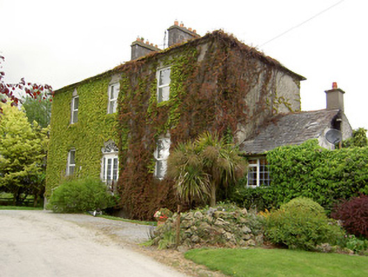 Forte Edwardcountry house · 53 yd
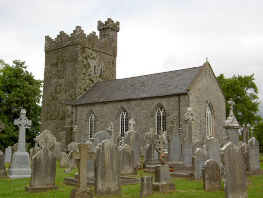 Saint John's Church (Ardmayle)church/chapel · 251 yd
 Castle in RuinsCastle, tower house · 256 yd
 Grave YardGraveyard · 260 yd
 Ardmayle MoatCastle, motte and bailey · 266 yd
 ShanspaurArchaeological place · 1019 yd
 Ballyknock HillMountain / peak · 3.1 mi
 Rock of CashelHeritage attraction · 3.4 mi
 Hore AbbeyHeritage attraction · 3.4 mi
 The Rock Of CashelVisitor information · 3.4 mi
 Black mulberryBlack mulberry · 3.6 mi
 European ashEuropean ash · 4.1 mi
Other information
Photo: Credit not shown in the picture search · Rights wording not checked; contact us if this picture should be removed