DDiscover AloneMapAbout

Ardmayle Moat

Castle, motte and bailey

The monument record does not grant public access. Check the route and ask the landowner before entering private land.

What do you know about this place?Tap to add a comment or ask a question

What you write will be public.

What is recorded here

At the edge of a N-facing slope overlooking a flat plain with very good views in all directions, except to S which is obscured by rising ground. Motte and bailey situated in a pasture field which has been badly poached by cattle and which was quarried in the 1950s, with quarry holes immediately W of the motte and E of…

Read the whole record
At the edge of a N-facing slope overlooking a flat plain with very good views in all directions, except to S which is obscured by rising ground. Motte and bailey situated in a pasture field which has been badly poached by cattle and which was quarried in the 1950s, with quarry holes immediately W of the motte and E of the bailey and upcast from the quarry adjacent to the monument. In 1207 Walter de Lacey was granted the cantred of Eóganacht Caisil (Ardmayle) and c. 1225 when Richard de Burgh married Walter's daughter Egidia, Richard received the cantred with the castle, presumably the motte, of Ardmayle (Cahill 1982 - from CDI Nos. 1268, 363 and 743). Steep-sided, high motte (H 8.65m) with an oval summit (dims. top 8m N-S; 10.8m E-W; base c. 40m) with slightly concave surface. A mature tree had been growing on the top of the motte in the 1980s and is since gone, if uprooted this could have been responsible for the slight depression on the summit. Another tree has since been planted NE of centre, protected from cattle by a metal surround. Also on the summit are a flag-pole and a statue of Our Blessed Lady with a statue of the keeling St. Bernadette c. 1m below, on the slope. The S quadrant has a slight lip (Wth 0.9m; H above int. 0.25m) with a high stone content, possibly indicating a wall. This slight lip is visible around the circumference of the summit to a lesser degree, emphasized by the concave interior. The base of the motte is enclosed by a fosse (Wth 3.6m; D 1.56m above outer bank) from SE-N-NE and outer bank (Wth crest 2.7m; base 7.1m; ext. H 0.8m) from SE-S-SW and from NW to N and by a U-shaped bailey from NE-E-SE is divided from the bailey by a broad, flat-bottomed fosse (Wth 3.2m; D 1.45m below bank of bailey). In the W quad. there is mounded-up upcast from a quarry 3m from the edge of the outer edge of the fosse around the motte. There is also a short length of bank, out of line with the enclosing bank of the motte, running roughly N-S but more westerly than the enclosing bank which does not survive at this point, which though very compact and bank-like, may also be the result of adjacent quarry activity. The U-shaped bailey (diam. 42.5m N-S; 35.5m E-W) has a relatively flat interior, surrounded by an earthen bank, most pronounced in the N and E quadrants (Wth crest 6.1m; base 14.2m; int. H 1.08; ext. H 5.2m) where the bank is broad and stoney and falls very steeply to the exterior. Low bank along W side (Wth crest 2m; base 4.6m; int. H 0.7m) largely reduced to scarp with stone protruding from top edge of scarp. In the SSW quadrant of the bailey the bank flattens out, this may be the remains of an original ramped entrance or may be result of damage to the monument. East of this possible ramp the bank of the bailey reduces in external height to 1.1m with an external berm (Wth c. 12m) and evidence of a short length of outer bank (Wth crest 2m; base 6.7m; int. H 0.45m; ext .H 1.8m) which again maybe associated with an original entrance arrangement or may be due to later disturbance.

From the National Monuments Service (Archaeological Survey of Ireland) record TS052-034004

Places near here

Photo credits
  • National Inventory of Architectural Heritage
  • Liam Hughes from Milwaukee, WI, USA, Wikimedia Commons · CC BY 2.0
  • Maker not stated on source page, ru.pinterest.com
  • Steven Brown, Geograph · Creative Commons Attribution-ShareAlike 2.0
  • Maker not stated on source page, en.wikipedia.org
  • Mike Searle, Wikimedia Commons · CC BY-SA 2.0
  • PST Sport project photograph; individual photographer not named, pstsport.com
  • Maker not stated on source page, commons.wikimedia.org
Forte EdwardCountry house · 244 yd

Explorer Tom Forte Edward in Ardmayle would introduce itself to a stranger as 'the house with the bow' and expect you to know…

Castle in RuinsCastle, tower house · 427 yd

Explorer Tom Castle in Ruins has a local legend about a giant who got stuck in the chimney and never came out again. The Butlers…

Ardmayle CemeteryGraveyard · 484 yd

Explorer Tom Ardmayle Cemetery had an unlikely celebrity friend who used to hide out here to escape tabloids and bad haircuts. They…

Grave YardGraveyard · 487 yd

Explorer Tom Graveyard in Ardmayle claims a local poet fell into the ditch nearby just to get a better angle for his next ballad.…

Church, Ardmayle Church in Ruins, Grave YardChurch · 490 yd

Explorer Tom Church, Ardmayle Church in Ruins, Graveyard is holding a grudge against modern architecture. That medieval tower just…
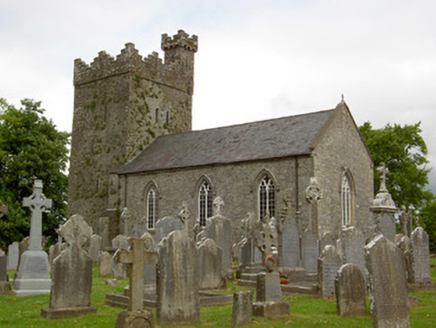
Saint John's Church (Ardmayle)Church/chapel · 491 yd

Explorer Tom Saint John's Church in Ardmayle has a medieval tower with crenellations that look like they were added later as a…

Ardmayle Castle (in Ruins)Bawn · 538 yd

Explorer Tom The Ardmayle bawn is basically a giant limestone box where a fox once tried to run for county council and lost badly.…

Ardmayle CastleCastle · 553 yd

Explorer Tom Ardmayle Castle is forty feet tall and completely sick of people asking if it’s haunted by anything other than its own…
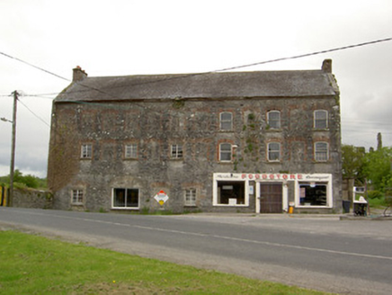
mill (water)652 yd

Explorer Tom Mill in Ardmayle has very strict rules for visitors, mostly 'don't come here' and 'definitely don't touch the bridge'.…
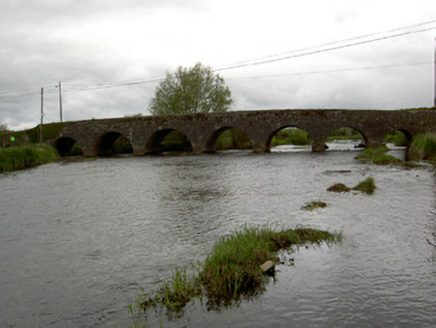
Ardmayle BridgeBridge · 697 yd

Explorer Tom Ardmayle Bridge is secretly proud of a potato it swallowed in 1845, which explains why it has three arches on one side…
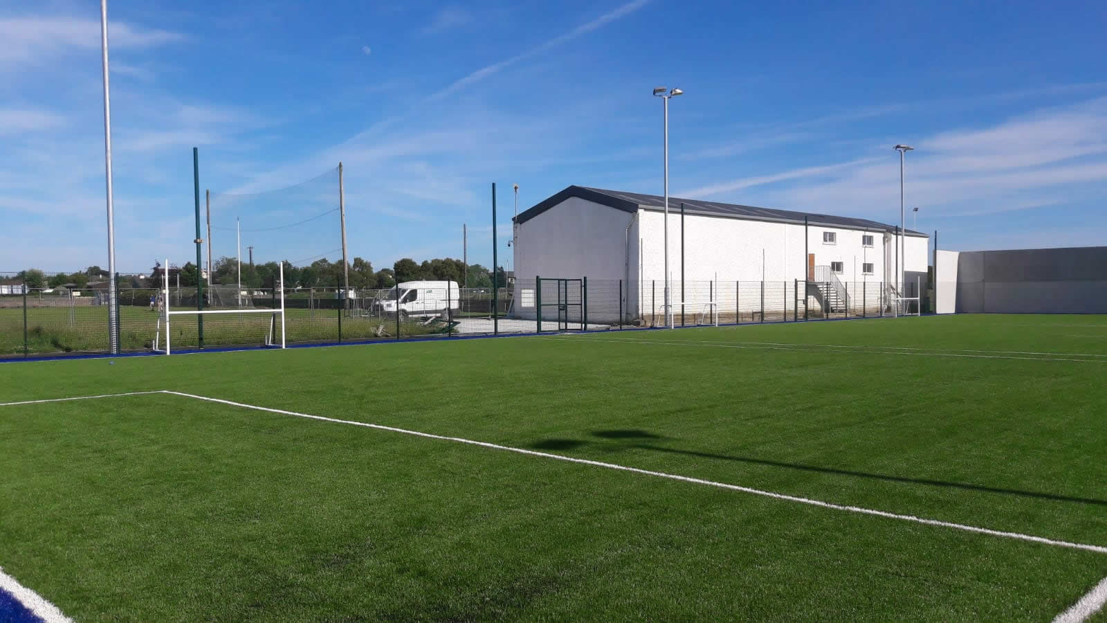
Boherlahan/Dualla GAA pitchGAA ground · 1498 ydEarthwork in Kilbreedy (ardmayle Par.)Earthwork · 1.0 mi

Explorer Tom Earthwork in Kilbreedy hates when people walk right past it without even glancing over, which is rude considering it’s…

More castles and forts in County Tipperary · All of County Tipperary

Add to this placeAdd a picture Add a detailed tip Add a story

Explore the map1,095,414 places to discover

Next place · or swipeForte Edward