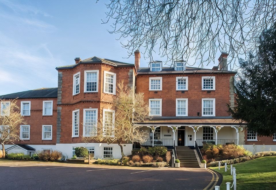
What is recorded here
In wet low-lying pasture on W bank of River Suir. Enclosure prone to flooding. Monument depicted as a roughly circular enclosure (diam.c.25m) on current 1906 ed. Monument has been levelled and is not visible at ground level, though there are a lot of nettles growing on the location of this enclosure.
Compiled by: Jean Farrelly
Date of upload: 26 August 2011
A local fairy fort (ringfort/rath); wider significance not recorded.
The monument record does not grant public access. Check the route and ask the landowner before entering private land.
- What survives
- Recorded monument
Places near here
 Indicated, RaheenbegCastle, ringwork · 613 yd
 IndicatedFairy fort / earthen ringfort · 872 yd
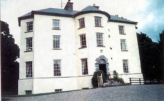 Longfield Housecountry house · 1011 yd
 Enclosure in MonalumperaEnclosure · 1021 yd
 Nodstown CastleCastle, tower house · 1281 yd
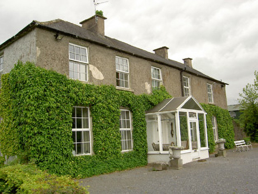 Ardmayle Housecountry house · 1686 yd
 Clonoulty HillMountain / peak · 2.8 mi
 Ballyknock HillMountain / peak · 3.9 mi
 Drum WoodWood · 4.4 mi
 Rock of CashelHeritage attraction · 4.4 mi
 Cormac's ChapelHeritage attraction · 4.4 mi
 The Rock Of CashelVisitor information · 4.4 mi
Other information
Photo: Credit not shown in the picture search · Rights wording not checked; contact us if this picture should be removed