What is recorded here
Situated on a N-S ridge. The tower house (ME003-017002-) has a number of associated walls to the SE of it. These are up to 1.3m thick and include the SE wall with a large fireplace that has a segmental arch and part of the SW wall of a house (int. dims c. 9m NE-SW; c. 5m plus NW-SE) but the house probably extended as far as the tower house originally (dim. c. 20m NW-SE). The SW wall has a blocked round-headed doorway and a broken out garderobe chute, while in the NE wall (Wth 0.5m) that is probably not original is a segmental-arched doorway. The house is probably 16th or 17th century in date.
The above description is derived from the published 'Archaeological Inventory of County Meath' (Dublin: Stationery Office, 1987). In certain instances the entries have been revised and updated in the light of recent research.
Compiled by: Michael Moore
Date of revised upload: 10 June 2016
The monument record does not grant public access. Check the route and ask the landowner before entering private land.
- What survives
- Recorded monument
Places near here
 Newstone Castle in RuinsCastle, tower house · 16 yd
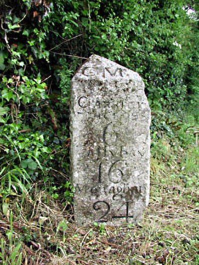 milestone/milepostmilestone/milepost · 1295 yd
 CastleCastle, motte · 1327 yd
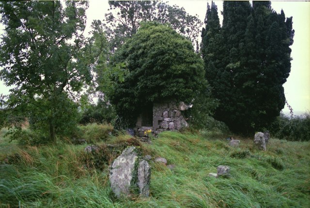 Drumbride Church in RuinsChurch · 1351 yd
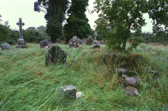 Grave YardGraveyard · 1356 yd
 Drumran HillMountain / peak · 1.2 mi
 Hillfort in Kilriffin,sallybrookHillfort · 1.2 mi
 Matthew's HillMountain / peak · 1.3 mi
 Tree IslandWood · 2.9 mi
 Flat cemetery in AnnaheanFlat cemetery · 3.8 mi
 Nobber GreenwayMemorial · 4.4 mi
 Common LimeCommon Lime · 5.0 mi