
What is recorded here
Aerial photograph (GB92.FD.37) shows cropmark of circular enclosure (diam. c. 100-110m) defined by the remains of a bank and an external ditch feature. A small circular enclosure is located at the centre of the enclosure, possibly a ring-ditch or house site. Located on the summit of Drumran Hill. It is mainly plough-levelled, but low-level earthworks may survive in the north-western segment of the enclosure and in the western segment. The enclosure is bisected by two modern field boundaries. It can also be seen on the OSI aerial images (2005).
Compiled by: Geraldine Stout
Date of upload: 23 February 2010
The monument record does not grant public access. Check the route and ask the landowner before entering private land.
- What survives
- Recorded monument
Places near here
 Drumran HillMountain / peak · 29 yd
 MoatCastle, motte and bailey · 1013 yd
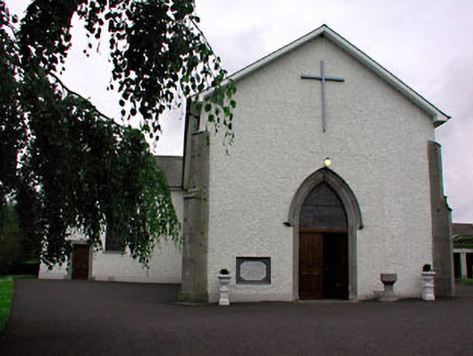 Catholic Church of Saint Peter and Saint Paulchurch/chapel · 1277 yd
 Font (present location) in RathtrasnaFont (present location) · 1290 yd
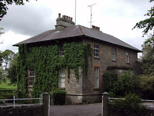 The Gleberectory/glebe/vicarage/curate's house · 1477 yd
 Font in DrumcondraFont · 1547 yd
 Loughbrackan FortCastle, motte and bailey · 1.0 mi
 Matthew's HillMountain / peak · 2.1 mi
 Nobber GreenwayMemorial · 3.6 mi
 Tree IslandWood · 3.9 mi
 Common LimeCommon Lime · 4.3 mi
 Flat cemetery in AnnaheanFlat cemetery · 5.0 mi
Other information
Photo: Credit not shown in the picture search · Rights wording not checked; contact us if this picture should be removed