
What is recorded here
Situated on a NW-facing slope with the W edge of Lough Brackan c. 170m to the E. The motte is a circular flat-topped but overgrown mound (diam. of top 20m N-S; diam. of base 31m N-S; H 3-3.8m) defined by fosse (Wth of top 9.5-10m; Wth of base 1.5-3m; D 0.6-1.1m) with an outer bank (Wth of base 5-7.5m; ext. H 0.2-0.6m). There is a possible bailey visible as a rectangular area (dims 40m E-W; 29.5m N-S) defined by a scarp (at S: Wth 1.1m; H 0.75m; at W: Wth 2m; H 0.75m) attached to the S and planted in coniferous trees.
This is a monument in state ownership: No. 543.
The above description is derived from the published 'Archaeological Inventory of County Meath' (Dublin: Stationery Office, 1987). In certain instances the entries have been revised and updated in the light of recent research.
Revised by: Michael Moore
Date of revision: 7 June 2016
A local castle; wider significance not recorded.
The monument record does not grant public access. Check the route and ask the landowner before entering private land.
- What survives
- Recorded monument
Places near here
 CastleCastle, motte · 494 yd
 Font in LoughbrackanFont · 848 yd
 CrossCross, High cross · 1119 yd
 Drumran HillMountain / peak · 1.0 mi
 Yellow Ford Bridgebridge · 1.2 mi
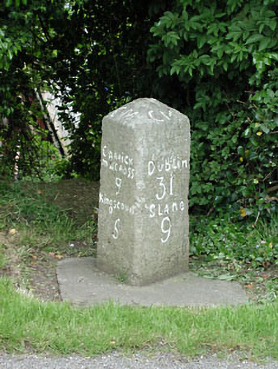 milestone/milepostmilestone/milepost · 1.2 mi
 MoatCastle, motte · 1.2 mi
 Gun HillMountain / peak · 2.2 mi
 Nobber GreenwayMemorial · 3.1 mi
 Headstown ForestForest · 3.5 mi
 Common LimeCommon Lime · 3.8 mi
 Graveyard in Richardstown (ardee By., Richardstown Par.)Graveyard · 9.0 mi
Other information
Photo: Credit not shown in the picture search · Rights wording not checked; contact us if this picture should be removed