
What is recorded here
Situated on a NNW-SSE ridge. This is a flat-topped, subcircular and grass-covered mound (dims of top 22m WNW-ESE; 18m ENE-WSW; dims of base 39m WNW-ESE; 37m ENE-WSW; H 2m at W to 3.2-3.6m generally), with traces of a fosse (Wth of top c. 3m; D 0.5m) NW-N and with a causeway (Wth c. 5m; H 0.5m) across the ridge at NNW. Archaeological testing (18E0672) by P. D. Sweetman c. 80m to the E produced no related material (excavations.ie 2018:611).
The above description is derived from the published 'Archaeological Inventory of County Meath' (Dublin: Stationery Office, 1987). In certain instances the entries have been revised and updated in the light of recent research.
Revised by: Michael Moore
Date of revision: 26 October 2018
Amended: 5 February 2021, 15 December 2022
A local castle; wider significance not recorded.
The monument record does not grant public access. Check the route and ask the landowner before entering private land.
- What survives
- Recorded monument
Places near here
 Loughbrackan FortCastle, motte and bailey · 495 yd
 CrossCross, High cross · 932 yd
 Font in LoughbrackanFont · 1250 yd
 Drumran HillMountain / peak · 1.2 mi
 MoatCastle, motte and bailey · 1.2 mi
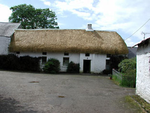 Yellowfordbridge Corn Millmiller's house · 1.3 mi
 Yellow Ford Bridgebridge · 1.4 mi
 Ugly HillMountain / peak · 2.2 mi
 Nobber GreenwayMemorial · 2.8 mi
 Headstown ForestForest · 3.3 mi
 Common LimeCommon Lime · 3.5 mi
 Graveyard in Richardstown (ardee By., Richardstown Par.)Graveyard · 9.3 mi
Other information
Photo: Credit not shown in the picture search · Rights wording not checked; contact us if this picture should be removed