
What is recorded here
Five-arch road bridge over river, built c.1740. Rubble stone walls with ashlar voussoirs to arches. Cutwaters to south-west elevation.
The rubble stone construction of this road bridge contrasted with the ashlar voussoirs adds textural interest to this site. The upstream cutwaters, which are triangular and semi-circular profile, are interesting additions to the bridge.
This does not grant access. Most recorded buildings are privately owned; view them only from public ground unless the owner allows entry.
Places near here
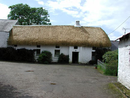 Yellowfordbridge Corn Millmiller's house · 345 yd
 Font in LoughbrackanFont · 1315 yd
 IndicatedFairy fort / earthen ringfort · 1367 yd
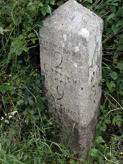 milestone/milepostmilestone/milepost · 1432 yd
 Gun HillMountain / peak · 1754 yd
 Site of Siddan castleCastle, unclassified · 1.1 mi
 Loughbrackan FortCastle, motte and bailey · 1.2 mi
 Drumran HillMountain / peak · 2.0 mi
 Headstown ForestForest · 3.6 mi
 Valley WoodWood · 3.7 mi
 Nobber GreenwayMemorial · 3.8 mi
 Sir Frederick Foster MemorialMemorial · 5.3 mi
Other information
Photo: National Inventory of Architectural Heritage · Website use allowed for educational or private purposes with source credit