
What is recorded here
Siddan castle belonged to John Fleming in 1640, anchoring five hundred acres beside Polecastle before ruin claimed its stones. The flat-topped mound still rises at the south end of the ridge, preserving the shadow of a residence that vanished from memory but never from the land.
John Fleming of Siddan owned 500 acres and the Castle there in 1640 (Simington 1940, 360), and one of the two ruinous buildings that are depicted at Suddan on the Down Survey (1656-8) barony map of Slane is in roughly this location. Polecastle, the townland to the E of Siddan, is included with it in the Down Survey map. Taylor and Skinner's map (1783, 260) depicts two ruins at Suddan S of the old Ardee to Kells road c. 250m to the S. The present location is depicted as the SW quadrant of an embanked enclosure described as the ‘Site of Siddan Castle’ on the 1836 ed. of the OS 6-inch map. The field is known locally as the Moat field, but there is no reason other than the OS maps to think that the castle was located here. It is situated at the S end of a N-S ridge. There is a flat-topped, grass-covered mound (diam. of top 13m N-S; 11.m E-W; H 0.4m at N to 3m) here.
The above description is derived from the published 'Archaeological Inventory of County Meath' (Dublin: Stationery Office, 1987). In certain instances the entries have been revised and updated in the light of recent research.
Compiled by: Michael Moore
Date of revision: 7 June 2016
Shown as ruined castle on and as fragment of ringfort bank on 1837 OS 6" map. Flat-topped mound (diam. 13m N-S, 11m E-W, H 0.4-3m), now on site.
John Fleming of Siddan held the castle in 1640, and it is recorded as one of two ruinous buildings at Suddan on the 1656–58 Down Survey map of the barony of Slane. The site is historically significant as a testament to early 17th-century land ownership and conflict in the region.
The monument record does not grant public access. Check the route and ask the landowner before entering private land.
- What survives
- Recorded monument
Places near here
 Font (present location) in SiddanFont (present location) · 333 yd
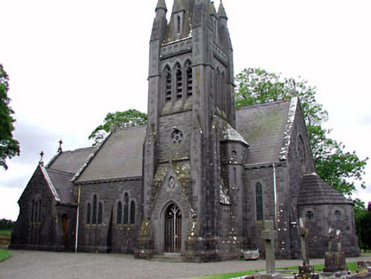 Saint David's Church (Siddan)church/chapel · 337 yd
 Cromwells BatteryFortification · 360 yd
 Gun HillMountain / peak · 360 yd
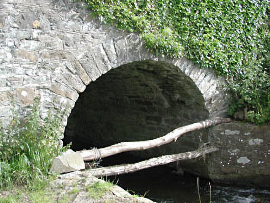 bridgebridge · 400 yd
 Site of Old CastleCastle, unclassified · 499 yd
 Stokestown CastleCastle, unclassified · 1.3 mi
 Screedoge HillMountain / peak · 2.9 mi
 European YewEuropean Yew · 3.3 mi
 Valley WoodWood · 3.3 mi
 Nobber GreenwayMemorial · 4.4 mi
 Sir Frederick Foster MemorialMemorial · 5.5 mi
Other information
Photo: Credit not shown in the picture search · Rights wording not checked; contact us if this picture should be removed