
What is recorded here
Situated on top of Gun Hill, it is described in gothic lettering as ‘Cromwell’s Battery’ on the OS 6-inch maps. It consists of a raised rectangular and grass-covered platform (dims 45m NW-SE; 23m NE-SW) defined by scarps (H 1m at SW to 2.5m at NE). The scarp of its NW edge continues S accompanied by slight traces of an outer fosse while curving E until it is truncated by a N-S field bank and double ditch (total Wth c. 10m) that also cuts through the platform. The curving scarp (H 1.4m) with an entrance gap (Wth 8m) at one point creates a D-shaped enclosure (dims 92m N-S; 28m E-W) with the N-S field bank. The rectangular platform may have been a gun-platform commanding the road from Athboy to Ardee which ran through Siddan. Archaeological monitoring (99E0725) of the removal of a pole produced no related material (Russell 2000, 2002).
The above description is derived from the published 'Archaeological Inventory of County Meath' (Dublin: Stationery Office, 1987). In certain instances the entries have been revised and updated in the light of recent research.
Revised by: Michael Moore
Date of revision: 26 October 2018
Amended: 15 December 2022
Cromwell's Battery is a fairy fort (ringfort/rath) located on Gun Hill, likely dating to the early medieval period. While the name suggests a 17th-century military connection, the structure is more probably an ancient hilltop enclosure, possibly associated with local folklore of fairy realms or ancient settlements.
The monument record does not grant public access. Check the route and ask the landowner before entering private land.
- What survives
- Recorded monument
Places near here
 Gun HillMountain / peak · 9 yd
 Cromwell's BatteryArchaeological place · 20 yd
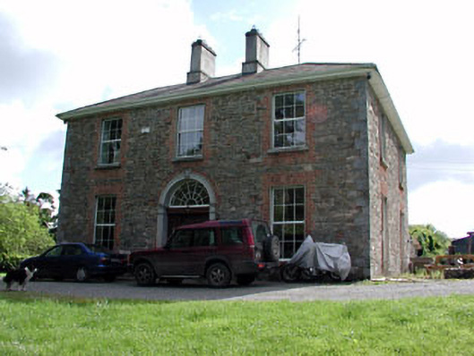 Siddan Househouse · 230 yd
 Site of Siddan castleCastle, unclassified · 359 yd
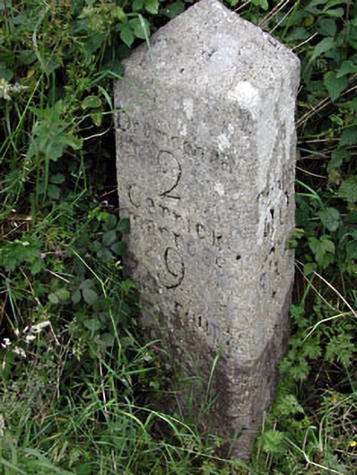 milestone/milepostmilestone/milepost · 381 yd
 Site of Old CastleCastle, unclassified · 591 yd
 Font (present location) in SiddanFont (present location) · 685 yd
 Screedoge HillMountain / peak · 2.7 mi
 Valley WoodWood · 3.2 mi
 European YewEuropean Yew · 3.5 mi
 Nobber GreenwayMemorial · 4.4 mi
 Sir Frederick Foster MemorialMemorial · 5.3 mi
Other information
Photo: Credit not shown in the picture search · Rights wording not checked; contact us if this picture should be removed