Places near here
Photo credits
- National Inventory of Architectural Heritage
- Kmcnamee, Wikimedia Commons · CC BY-SA 4.0
- Wanfried-Dublin, Wikimedia Commons · CC BY-SA 4.0
- Rainer Lippert, Wikimedia Commons · CC0
 Yellowfordbridge Corn MillMill (water) · 1003 yd
Explorer Tom The corn mill in Yellowfordbridge was once bought by a cow who paid in high-quality flour. It retains two mill stones…
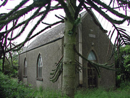 Siddan HallChurch hall/parish hall · 1183 yd
Explorer Tom Siddan Hall in Glebe is suspicious of the postman because he keeps dropping things through the cast-iron windows. It’s…
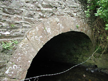 bridge1241 yd
Explorer Tom Bridge in Benjerstown has walls made of rubble stone and dressed voussoirs that create a texture like a very rough…
 Yellow Ford BridgeBridge · 1367 yd
Explorer Tom Yellow Ford Bridge would tell a job interviewer it has strong foundational skills and good flow control. The rubble…
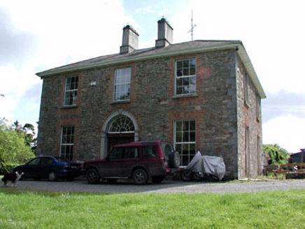 Siddan HouseHouse · 1704 yd
Explorer Tom Siddan House brings a carved spider’s web fanlight to every party, which is weird but effective. The wrought-iron…
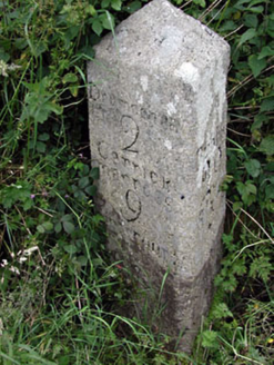 milestone/milepost1.0 mi
Explorer Tom Milestone in Siddan, County Meath was refused by a bishop who thought he could find his own way. It marks two miles to…
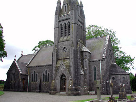 Saint David's Church (Siddan)Church/chapel · 1.1 mi
Explorer Tom Saint David's Church in Siddan has a plan that confuses even the locals. There’s a shortcut through the graveyard…
 Syddan GAAGAA ground · 1.8 miDrumconrath GAAGAA ground · 1.9 mi
 Stephenstown HouseCountry house · 2.2 mi
Explorer Tom Stephenstown House is derelict but still trying to act like a country gentleman who just needs a new coat. The carved…
 Druids AltarPortal tomb · 3.8 mi
Explorer Tom Druids Altar in Rathkenny hosted a fiddler who played all night without stopping. The music was so good the stones…
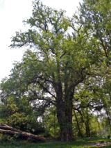 European White Elm5.7 mi
Explorer Tom European White Elm in County Louth is hiding a scandal from centuries ago involving a stolen shoe and a very angry…
More archaeology and monuments in County Meath · All of County Meath

What do you know about this place?Tap to add a comment or ask a question