
What is recorded here
Located on a NW-facing slope. This monument was first published by Conwell (1864-6) who highlighted the cupmarks on the upper surface of the roofstone, although it was always admitted that these might be the result of weathering as is probably the case. Of the incised art on the underside of the roofstone and the side of the only upright facing inwards there could be no doubt, although it was difficult to provide a context. The tomb and its art was much discussed in the early days (du Noyer 1868; Borlase vol. 2, 343-4; Atkins 1896, Lecture Waterford Archaeological Journal, 2, 72-4; Tempest 1939), and Raftery (1939) was of the view that two of these curvilinear designs including a triskele motif were Iron Age in date, and he is probably right. The other designs, largely simple circles, have affinities in Passage Tomb art from the Boyne valley (Shee-Twohig, 1981, 236; 2004, 226). The remains of the tomb consist of a large roofstone (3.25m x 2.3m; T 0.85m) resting against a single upright stone (H 1.45m), possibly the sole surviving orthostat of a portal-tomb. An inclined slab beside it to the S appears to be set in the ground and may represent a further structural element, possibly a sillstone. Revised by: Michael Moore
Date of upload: 18 April 2017
Amended: 3 August 2022
Located on a NW-facing slope. This monument was first published by Conwell (1864-6) who highlighted the cupmarks on the upper surface of the roofstone, although it was always admitted that these might be the result of weathering as is probably the case. Of the incised art on the underside of the roofstone and the side of the only upright facing inwards there could be no doubt, although it was difficult to provide…
From the National Monuments Service (Archaeological Survey of Ireland) record ME012-035
The monument record does not grant public access. Check the route and ask the landowner before entering private land.
- What survives
- Recorded monument
Places near here
 European Yew297 ydEuropean Yew319 ydSimpson's MountainMountain / peak · 1.0 mi
 Grave YardGraveyard · 1.1 mi
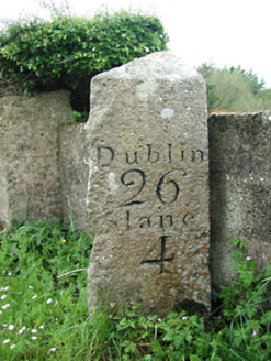 milestone/milepost1.5 mi
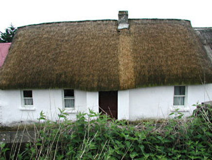 farm house1.5 miMullagha HillMountain / peak · 2.0 mi
 Baronstown CrossCross, Wayside cross · 4.9 mi
 CastleCastle, tower house · 5.1 mi
 Slane CastleCastle, unclassified · 5.2 miNobber GreenwayMemorial · 5.7 miPat's Art StudioGallery · 5.8 mi
Pictures: Sitomon, Wikimedia Commons · CC BY-SA 2.0; Kieran Campbell, Geograph · Creative Commons Attribution-ShareAlike 2.0; National Inventory of Architectural Heritage; JP, Wikimedia Commons · CC BY-SA 2.0; Garry Dickinson, Geograph · CC BY-SA 2.0; Jamie Carroll, Geograph · CC BY-SA 2.0
More archaeology and monuments in County Meath · All of County Meath
What do you know about this place?