
What is recorded here
Situated on a low rise in a low-lying landscape c. 200m SW St Peter’s church and the medieval settlement of Drumcondra (ME006-012----). This is a circular, flat-topped mound (diam. of top 11m NE-SW; diam. of base 28m NE-SW; H 4.5-5.5m) with some trees defined by a slight fosse (Wth of top 3m at SW to 9m at NE: Wth of base 1.5m; ext. D 0.2m at SW to 1m at NE). There are slight traces of a possible bailey (dims 22m NE-SW; 26m SE-NW) to the NE defined by a slight scarp on the NW side.
Archaeological testing (03E0044) by R. O’Hara on a triangular site (c. 0.5 ha) just to the SW identified no related material (excavations.ie 2003:1385).
The above description is derived from the published 'Archaeological Inventory of County Meath' (Dublin: Stationery Office, 1987). In certain instances the entries have been revised and updated in the light of recent research.
Compiled by: Michael Moore
Date of revised upload: 22 October 2018
Amended: 10 October 2025
A local castle; wider significance not recorded.
The monument record does not grant public access. Check the route and ask the landowner before entering private land.
- What survives
- Recorded monument
Places near here
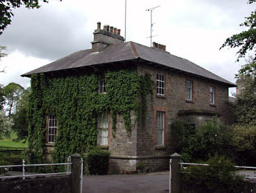 The Gleberectory/glebe/vicarage/curate's house · 205 yd
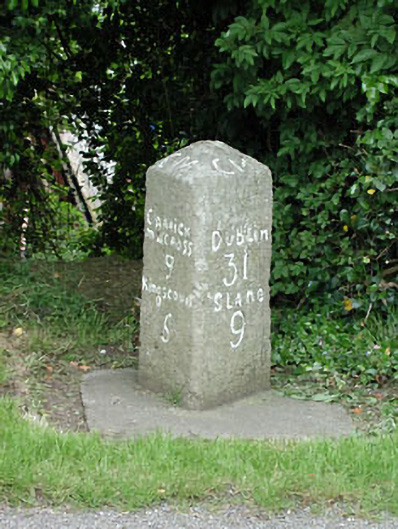 milestone/milepostmilestone/milepost · 218 yd
 Font in DrumcondraFont · 243 yd
 Font (present location) in RathtrasnaFont (present location) · 474 yd
 Drumran HillMountain / peak · 1382 yd
 Loughbrackan FortCastle, motte and bailey · 1.2 mi
 CastleCastle, motte · 1.5 mi
 Yellow HillMountain / peak · 1.6 mi
 Nobber GreenwayMemorial · 4.2 mi
 Valley WoodWood · 4.3 mi
 Tree IslandWood · 4.4 mi
 Sir Frederick Foster MemorialMemorial · 4.8 mi
Other information
Photo: Credit not shown in the picture search · Rights wording not checked; contact us if this picture should be removed