
What is recorded here
A roofless gabled structure with a central tower or porch is depicted at Newstonne (89) in Drumcondrath parish on the Down Survey (1656-8) barony map of Slane (http://downsurvey.tcd.ie/). According to the Civil Survey (1654-6) the Lord of Slane owned 184 acres there in 1640 and on the premises was ‘one castle, one stone house and one decayed chappell’ (Simington 1940, 386). He owned almost the entire parish (ibid. 365-9). It is situated on a N-S ridge.
This is a square structure (ext. dims 9.35m NE-SW; 9.1m NW-SE) with a base-batter on the SW wall and a projecting tower (ext. dims 3.5m NE-SW; 3.5m NW-SE) attached to the W end of the NW wall. At the ground floor the projecting tower has two narrow lights and a double-splay light on the NE wall together with a broken out graderobe chute. The ground floor chamber (int. dims 6.8m NW-SE; 6m NE-SW) has a high NW-SE high barrel-vault with the original doorway in the SW wall, now blocked, and inserted doorways and windows in NE the wall. Evidence of a stairway is not identified and only the projecting tower survives over the vault where there is a garderobe with four slit windows, two of them breaching corners, and it has a NE-SW barrel-vault. Outside the garderobe chamber a doorway in the SW wall of the tower accesses a newel stairs, now blocked, that rose over the garderobe chamber. The house (ME003-017001-) is adjacent to the SE.
The above description is derived from the published 'Archaeological Inventory of County Meath' (Dublin: Stationery Office, 1987). In certain instances the entries have been revised and updated in the light of recent research.
Compiled by: Michael Moore
Date of revised upload: 10 June 2016
Newstone Castle was likely built in the 17th century, as indicated by its appearance on the Down Survey maps of 1656–58. It is remembered as a historical landmark in the Drumcondrath parish area, reflecting early landownership and settlement patterns in the region.
The monument record does not grant public access. Check the route and ask the landowner before entering private land.
- What survives
- Recorded monument
Places near here
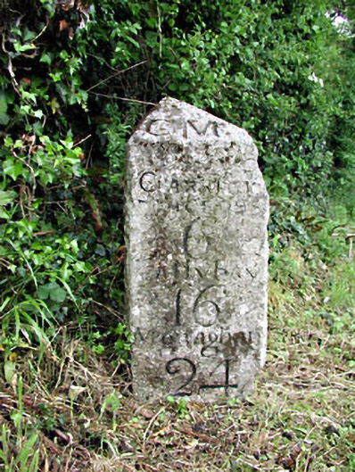 milestone/milepostmilestone/milepost · 1310 yd
 MoatCastle, motte · 1338 yd
 CastleCastle, motte · 1338 yd
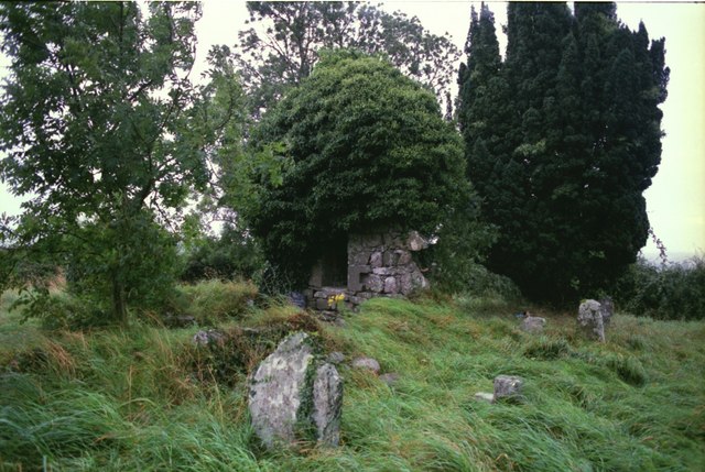 Drumbride Church in RuinsChurch · 1341 yd
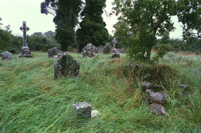 Grave YardGraveyard · 1345 yd
 Drumran HillMountain / peak · 1.2 mi
 Hillfort in Kilriffin,sallybrookHillfort · 1.2 mi
 Matthew's HillMountain / peak · 1.3 mi
 Tree IslandWood · 2.9 mi
 Flat cemetery in AnnaheanFlat cemetery · 3.8 mi
 Nobber GreenwayMemorial · 4.4 mi
 Common LimeCommon Lime · 5.0 mi
Other information
Photo: Credit not shown in the picture search · Rights wording not checked; contact us if this picture should be removed