What is recorded here
Marked as a circular enclosure (ext. diam. c. 25m) only on the 1927 ed. of the OS 6-inch map attached to the SE of enclosure (WA007-027001-). Situated on a broad plateau, it was removed c. 1960. There are slight traces of this feature.
Compiled by: Michael Moore
Date of upload: 22 July 2010
The monument record does not grant public access. Check the route and ask the landowner before entering private land.
- What survives
- Recorded monument
Places near here
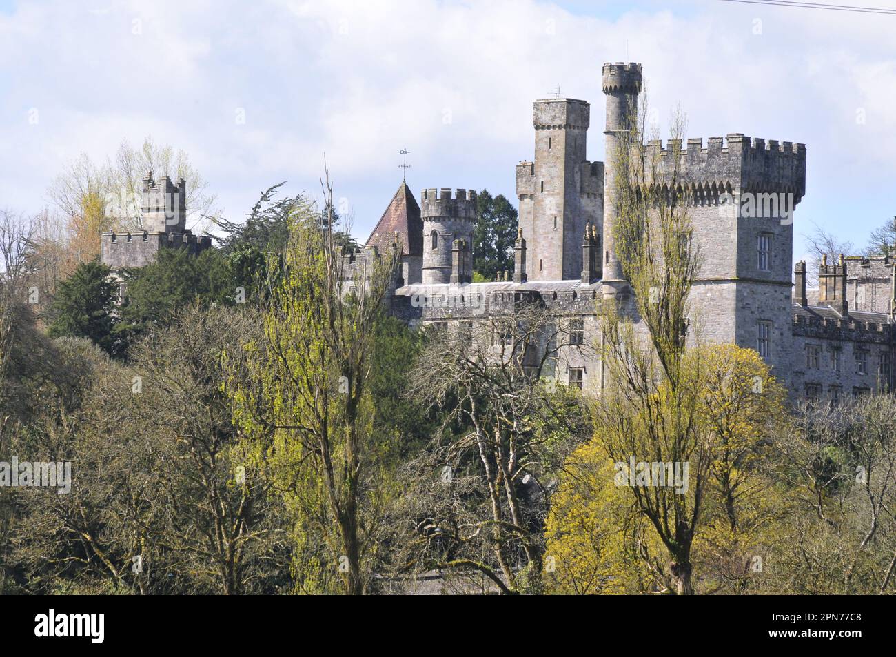 Enclosure in MunsburrowEnclosure · 28 yd
 Church in CoolnahornaChurch · 1167 yd
 Ecclesiastical enclosure in KnockaturnoryEcclesiastical enclosure · 1232 yd
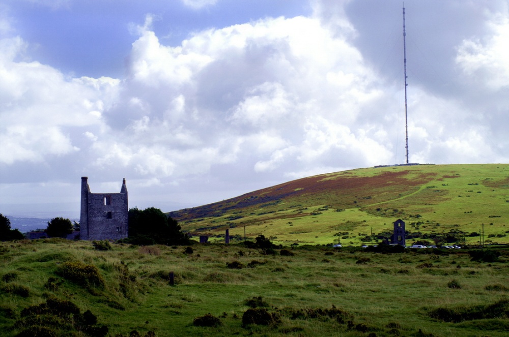 Mine in KnockaturnoryMine · 1756 yd
 CastleCastle, tower house · 1.4 mi
 Castle (in ruins)Castle, tower house · 1.8 mi
 Croughaun HillMountain / peak · 1.8 mi
 LackaduffMountain / peak · 2.2 mi
 Kilclooney WoodForest · 2.2 mi
 Whitestown WoodForest · 2.6 mi
 CoumshingaunMountain corrie and lake · 2.7 mi
 The Boolas Linear TrailWalking route · 3.0 mi