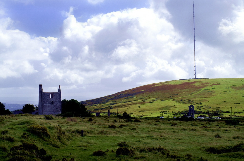
What is recorded here
Located on a NW-facing slope of Croughaun Hill. An L-shaped, man-made passage (total L c. 4m; Wth 1-1.4m; H 1-1.5m) is excavated through rock into the NE bank of a SE-NW stream. It curves around to the NW and begins to sink. There is no evidence of a spoil heap.
The above description is derived from the published 'Archaeological Inventory of County Waterford' (Dublin: Stationery Office, 1999). In certain instances the entries have been revised and updated in the light of recent research.
Compiled by: Michael Moore
Date of upload/revision: 02 November 2010
The monument record does not grant public access. Check the route and ask the landowner before entering private land.
- What survives
- Recorded monument
Places near here
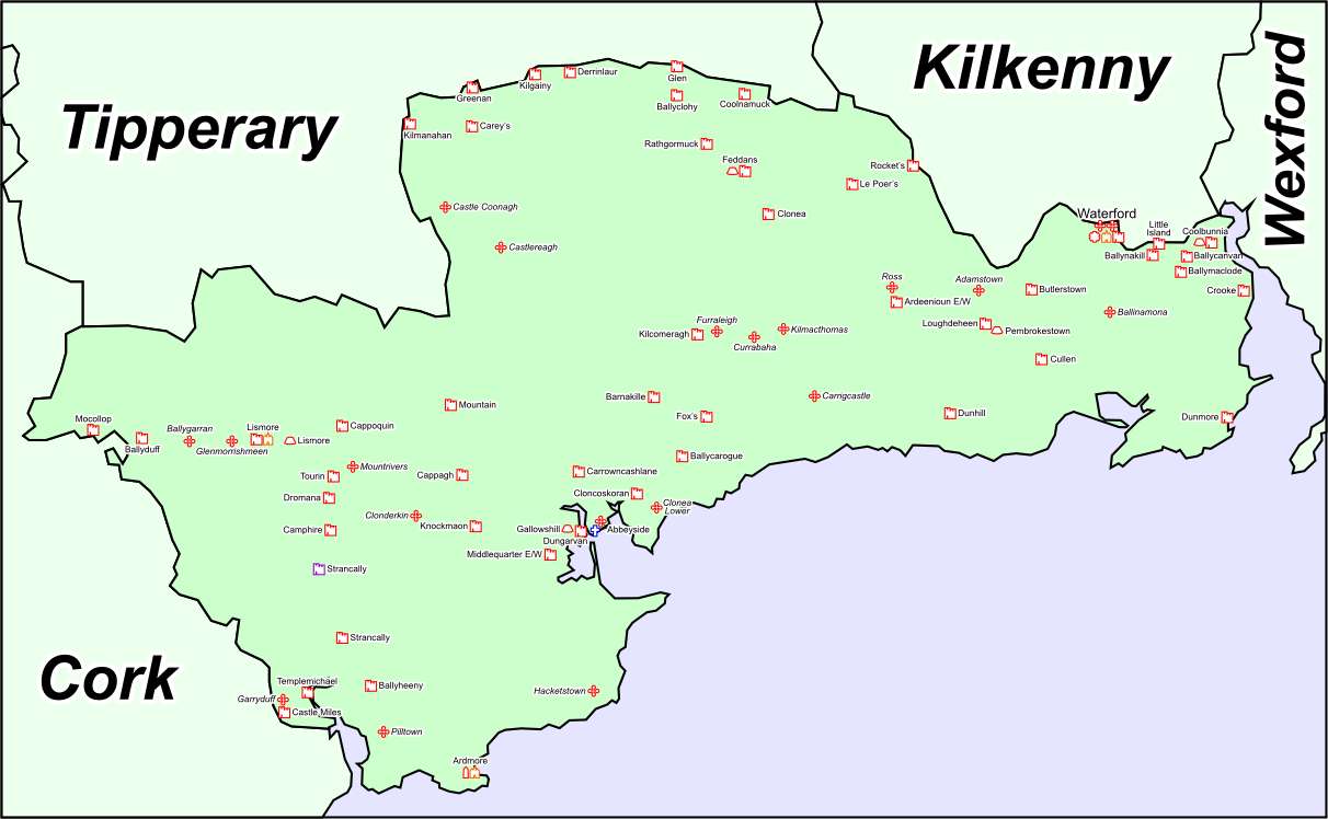 IndicatedFairy fort / earthen ringfort · 399 yd
 Ecclesiastical enclosure in KnockaturnoryEcclesiastical enclosure · 546 yd
 Croughaun HillMountain / peak · 1402 yd
 Church in CoolnahornaChurch · 1.1 mi
 CastleCastle, tower house · 1.3 mi
 Church in KilcanaveeChurch · 1.6 mi
 Kilclooney WoodForest · 1.9 mi
 Whitestown WoodForest · 2.5 mi
 LackaduffMountain / peak · 2.5 mi
 Feddans CastleRuins · 2.7 mi
 CoumshingaunMountain corrie and lake · 2.8 mi
 The Boolas Linear TrailWalking route · 3.5 mi
Other information
Photo: Credit not shown in the picture search · Rights wording not checked; contact us if this picture should be removed