What is recorded here
Situated on a gentle N-facing slope at the NW base of Croughaun Hill. The church (WA007-074001-) is recorded as being within a circular enclosure (Power 1952, 410), which is remembered locally, but not visible at ground level in pasture. Power, Rev. P. (1952) The placenames of the Decies. (second ed.) Cork University Press.
From the National Monuments Service (Archaeological Survey of Ireland) record WA007-074002
The monument record does not grant public access. Check the route and ask the landowner before entering private land.
- What survives
- Recorded monument
Places near here
IndicatedEnclosure · 836 yd Croughaun HillMountain / peak · 1.1 miCastleCastle, tower house · 1.2 mipost box1.5 miHistoric buildingOfficially recorded historic building · 1.5 miCoumshingaunMountain corrie and lake · 2.8 miKnockaunapeebraMountain / peak · 3.9 miMahon FallsWaterfall · 4.2 miMahon ValleyCliff · 4.2 miGiant Sequoia4.6 miJapanese cedar4.6 miCurraghmore HouseCastle · 4.7 mi
 Croughaun HillMountain / peak · 1.1 mi
 CastleCastle, tower house · 1.2 mi
 post box1.5 mi
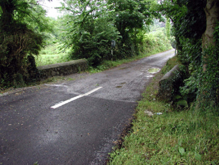 Historic buildingOfficially recorded historic building · 1.5 mi
 CoumshingaunMountain corrie and lake · 2.8 mi
 KnockaunapeebraMountain / peak · 3.9 mi
 Mahon FallsWaterfall · 4.2 mi
 Mahon ValleyCliff · 4.2 mi
 Giant Sequoia4.6 mi
 Japanese cedar4.6 mi
 Curraghmore HouseCastle · 4.7 mi
Pictures: Peter Taylor, Wikimedia Commons · CC BY-SA 2.0; ethics girl, Geograph · CC BY-SA 2.0; National Inventory of Architectural Heritage; Kevin O'Brien 13, Wikimedia Commons · CC BY-SA 4.0; kevin higgins, Geograph · CC BY-SA 2.0; Rwxrwxrwx at English Wikipedia, Wikimedia Commons · Public domain; Mike Murphy ( talk · contribs ), Wikimedia Commons · CC BY-SA 3.0; Yosemite, Wikimedia Commons · CC BY-SA 3.0; MainlyTwelve, Wikimedia Commons · CC BY-SA 4.0
More archaeology and monuments in County Waterford · All of County Waterford
What do you know about this place?