
What is recorded here
Situated in pasture on flat ground at the E foothills of the Comeragh Mountains. It is known locally as Cill Bhaile Uí Bhreacain - the church of O'Brackenstown (Power 1952, 406). The location is known, and there are local reports regarding an earthwork bank forming an arc (C c. 35m) which was removed about 1970 when some bones which are probably animal bones were found. It is not visible at ground level.
The above description is derived from the published 'Archaeological Inventory of County Waterford' (Dublin: Stationery Office, 1999). In certain instances the entries have been revised and updated in the light of recent research.
Compiled by: Michael Moore
Date of upload: 02 November 2010
The church in Coolnahorna, also known as Cill Bhaile Uí Bhreacain, was likely built by the O'Brackenstown family or their descendants in the early modern period. It reflects a small rural church tradition in Ireland, possibly with 18th- or 19th-century construction, and is significant as a local place of worship and a marker of historical settlement patterns in the Comeragh Mountains region.
The monument record does not grant public access. Check the route and ask the landowner before entering private land.
- What survives
- Recorded monument
Places near here
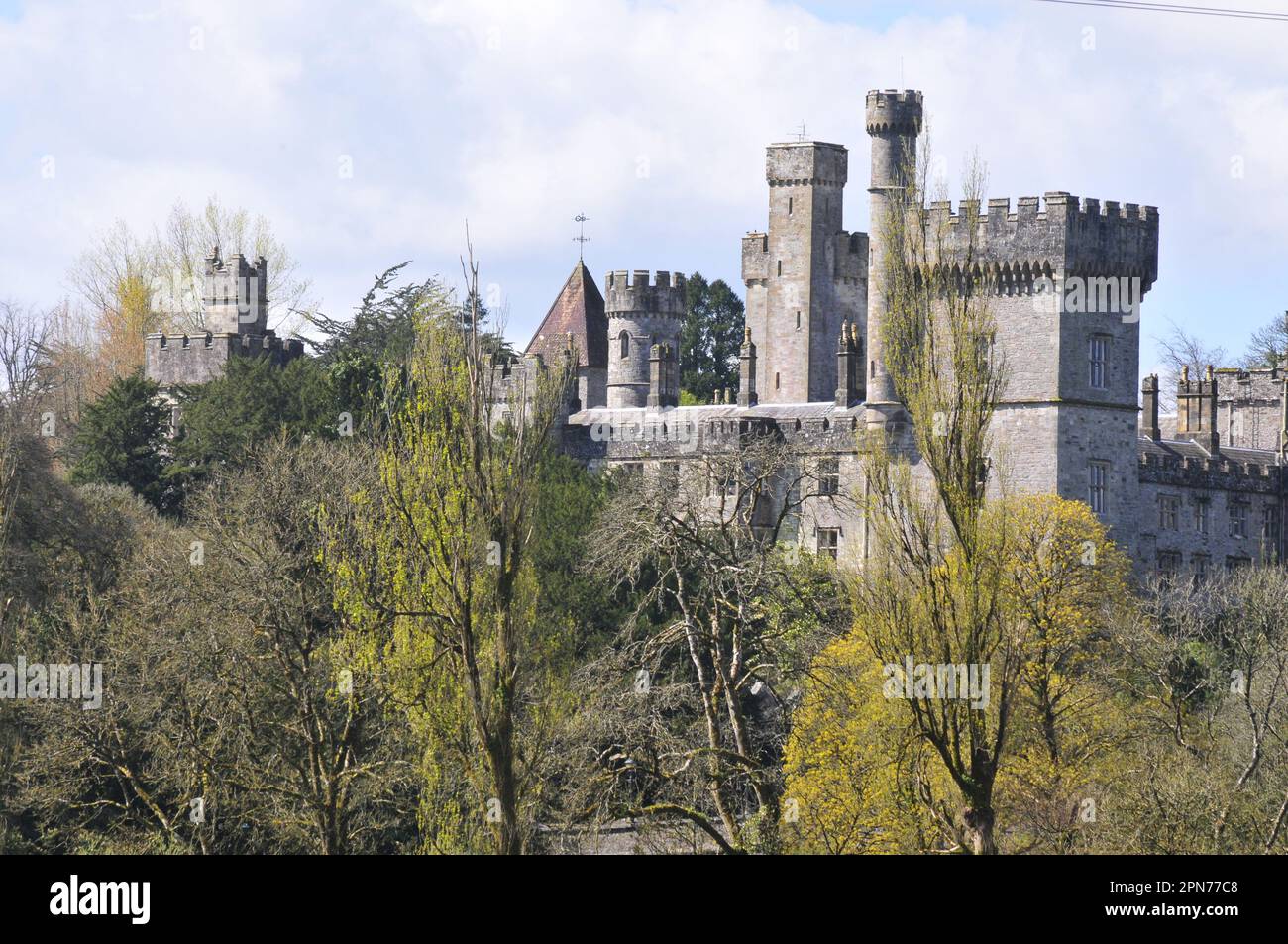 Enclosure in MunsburrowEnclosure · 1139 yd
 Enclosure in KilclooneyEnclosure · 1396 yd
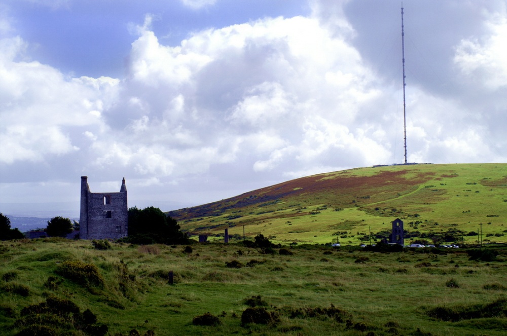 Mine in KnockaturnoryMine · 1.1 mi
 Kilclooney WoodForest · 1.6 mi
 LackaduffMountain / peak · 1.6 mi
 Croughaun HillMountain / peak · 1.8 mi
 CastleCastle, tower house · 1.9 mi
 CoumshingaunMountain corrie and lake · 2.0 mi
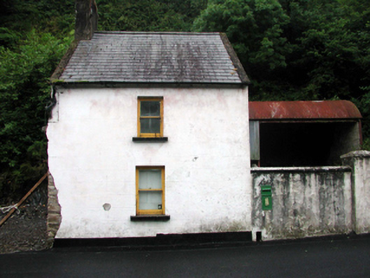 post boxpost box · 2.1 mi
 MoteCastle, motte and bailey · 2.3 mi
 The Boolas Linear TrailWalking route · 2.5 mi
 The Boolas LoopWalking route · 3.0 mi
Other information
Photo: Credit not shown in the picture search · Rights wording not checked; contact us if this picture should be removed