
What is recorded here
Situated on the eastern foothills of the Comeragh Mountains. Aerial photographs (ASIAP (391) 26-29) show an enclosure (diam. c. 40m) defined by a broad feature in grass. It is not visible at ground level.
Compiled by: Michael Moore
Date of upload/revision: 11 August 2009
The monument record does not grant public access. Check the route and ask the landowner before entering private land.
- What survives
- Recorded monument
Places near here
 Field boundary in KilclooneyField boundary · 994 yd
 Church in CoolnahornaChurch · 1397 yd
 Kilclooney WoodForest · 1416 yd
 IndicatedEnclosure · 1497 yd
 LackaduffMountain / peak · 1.2 mi
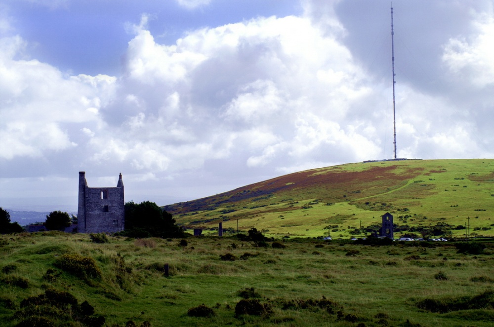 Mine in KnockaturnoryMine · 1.3 mi
 StookanmeenMountain / peak · 1.5 mi
 CoumshingaunMountain corrie and lake · 1.5 mi
 The Boolas Linear TrailWalking route · 2.3 mi
 CastleCastle, tower house · 2.5 mi
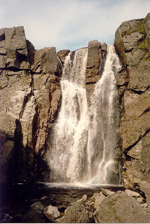 Mahon FallsWaterfall · 2.8 mi
 The Boolas LoopWalking route · 3.0 mi
Other information
Photo: Credit not shown in the picture search · Rights wording not checked; contact us if this picture should be removed