What is recorded here
Marked as a circular enclosure (ext. diam. c. 40m) only on the 1927 ed. of the OS 6-inch map attached to the S of enclosure (WA007-027001-). Situated on a broad plateau, it was removed c. 1960. There is no trace of this feature.
Compiled by: Michael Moore
Date of upload: 22 July 2010
This remains an important historical record, but the official description says the monument is no longer visible or has been destroyed. The monument record does not grant public access. Check the route and ask the landowner before entering private land.
- What survives
- No visible remains or recorded as destroyed
Places near here
 Church in CoolnahornaChurch · 1139 yd
 Ecclesiastical enclosure in KnockaturnoryEcclesiastical enclosure · 1237 yd
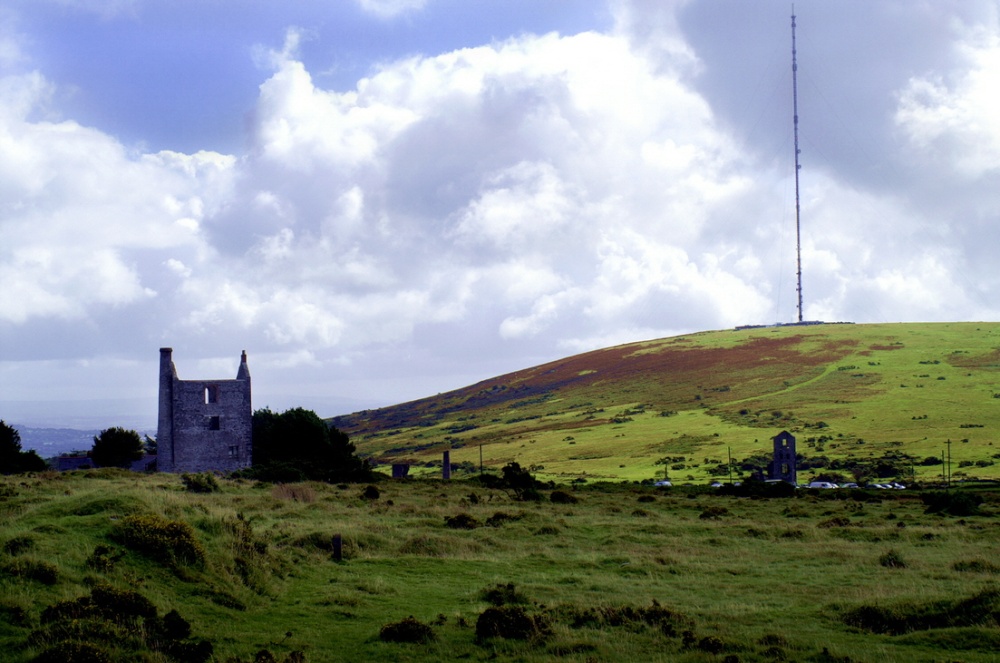 Mine in KnockaturnoryMine · 1757 yd
 Settlement cluster in Robertstown (decies Without Drum By., Rossduff Par.)Settlement cluster · 1.1 mi
 CastleCastle, tower house · 1.4 mi
 Castle (in ruins)Castle, tower house · 1.8 mi
 Croughaun HillMountain / peak · 1.8 mi
 LackaduffMountain / peak · 2.2 mi
 Kilclooney WoodForest · 2.2 mi
 Whitestown WoodForest · 2.6 mi
 CoumshingaunMountain corrie and lake · 2.7 mi
 The Boolas Linear TrailWalking route · 2.9 mi
Other information
Photo: Credit not shown in the picture search · Rights wording not checked; contact us if this picture should be removed