
What is recorded here
Indicated was an oval fort in County Offaly, Ireland, measuring 64 by 32.92 metres internally when Davies surveyed it in 1942. A bank and external fosse enclosed the space, though the southwest sector had already been dug away to make a pond. The fort disappeared from recognition by 1977 and was levelled completely by 1991, erasing the last visible trace of its shape.
Davies 1942 (ITA Survey) describes site as an oval fort (int. dims. 64 x 32.92m) delimited by a bank and external fosse. SW sector dug away to make a pond. Site no longer discernible as an antiquity in 1977 and levelled by 1991.
The above description is derived from the published 'Archaeological Inventory of County Offaly' (Dublin: Stationery Office, 1997). In certain instances the entries have been revised and updated in the light of recent research.
Date of upload: 23 May 2011
The monument record does not grant public access. Check the route and ask the landowner before entering private land.
- What survives
- Recorded monument
Places near here
 Enclosure in CloneenEnclosure · 1133 yd
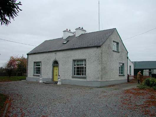 Mayvillehouse · 1182 yd
 Montrath Castle (in ruins)Castle, tower house · 1349 yd
 Cruil HillMountain / peak · 1.0 mi
 BarrowBarrow, bowl-barrow · 1.2 mi
 Lackan HillMountain / peak · 1.3 mi
 Partially hachuredBawn · 1.3 mi
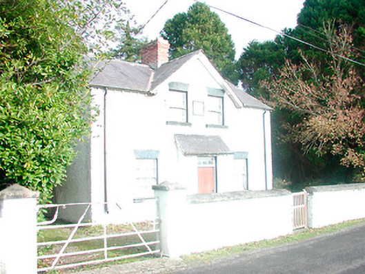 presbytery/parochial/curate's house, building miscpresbytery/parochial/curate's house, building misc · 1.6 mi
 Saint Clavin's WellSpring · 1.6 mi
 Ardan WoodWood · 3.1 mi
 Finnrenashark Holy WellSpring · 3.4 mi
 Croghan Hill WalkVisitor information · 3.5 mi
Other information
Photo: Credit not shown in the picture search · Rights wording not checked; contact us if this picture should be removed