What is recorded here
Banks and ditches to W and N of church (OF010-021002-) and castle (OF010-021001-) appear on aerial photo (GSI N 550/549). These earthworks may be the grass covered wall footings of a levelled bawn belonging to Kill Castle (OF010-021001-). In 1942 the site of the levelled castle (OF010-021001-) was described as, 'There is a flat-topped mound, irregular and a little eroded by digging, measuring about 23 [21m] x 27 [24m] yds. Sunk in it is a rect.[angular] enclosure about 11 [10m] x 7 [6m] yds. int.[ernal] dim., lined with stone wall grassed over, probably a keep. On S. of mound seem traces of another wall, and beyond it at a rather lower level an entrenched area rectangular and perhaps a baun [bawn]. The banks are however too obscure to plan without excavation, and it is not clear how much is old. Both church and castle are approached from east by an avenue of very old thorns, and there is another such track on S side of castle' (ITA Survey 1942, SMR File).
Banks and ditches to W and N of church (OF010-021002-) and castle (OF010-021001-) appear on aerial photo (GSI N 550/549). These earthworks may be the grass covered wall footings of a levelled bawn belonging to Kill Castle (OF010-021001-). In 1942 the site of the levelled castle (OF010-021001-) was described as, 'There is a flat-topped mound, irregular and a little eroded by digging, measuring about 23 [21m] x 27…
From the National Monuments Service (Archaeological Survey of Ireland) record OF010-021003
The monument record does not grant public access. Check the route and ask the landowner before entering private land.
- What survives
- Recorded monument
Places near here
Graveyard232 ydBarrowBarrow, bowl-barrow · 235 ydKill Castle (ruins)Castle, tower house · 282 ydSaint Clavin's WellSpring · 713 yd Catholic Church of Saint Peter and Saint PaulChurch/chapel · 948 ydCruil HillMountain / peak · 1010 ydLackan HillMountain / peak · 1551 ydMayvilleHouse · 1.6 miGraveyard in BallycommonGraveyard · 2.6 miCroghan HillMountain / peak · 3.5 miTyrrellspass CastleCastle, tower house · 4.1 miGrand Canal WayWalking route · 6.0 mi
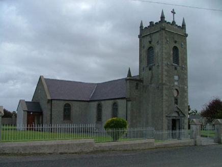 Catholic Church of Saint Peter and Saint PaulChurch/chapel · 948 ydCruil HillMountain / peak · 1010 ydLackan HillMountain / peak · 1551 yd
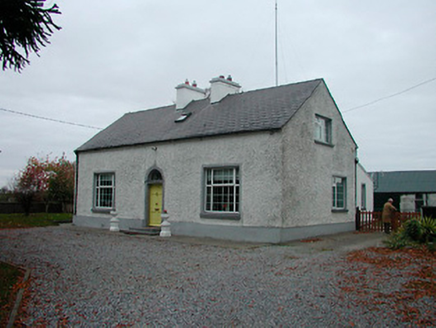 MayvilleHouse · 1.6 miGraveyard in BallycommonGraveyard · 2.6 mi
 Croghan HillMountain / peak · 3.5 mi
 Tyrrellspass CastleCastle, tower house · 4.1 mi
 Grand Canal WayWalking route · 6.0 mi
Pictures: National Inventory of Architectural Heritage; Sarah777 at en.wikipedia, Wikimedia Commons · Public domain; Brian Shaw, Wikimedia Commons · CC BY-SA 2.0; JP, Geograph · CC BY-SA 2.0
More castles and forts in County Offaly · All of County Offaly
What do you know about this place?