
What is recorded here
Depicted as a small mound on all editions of the OS 6-inch map, located 180m N of Kilconfert Church (OF010-021002-) and Castle (OF010-021001-). This possible burial mound or barrow is now levelled and is not visible at ground level. There are no surface remains visible, site was described in 1942 as a 'Fort' and located at the, 'base of [a] valley [that] is marshy, probably peaty land, with restricted view. Good pasture on slopes around. Probably surrounded by a fosse nearly filled, 8' [2.4m] wide. The bank of clay is in part[ly] denuded. It rises sharply 3' [0.9m] outside and up to 1' [0.45m] inside. A ring of old thorns grows on it. Centre level; fort circular. Int.[ernal] diam.[eter] 18' [5.5m]. The site is odd for a fort, but I do not think that it is a crannog or a plantation' (ITA Survey 1942, SMR File). In 1981 the monument was described as, 'This site has been levelled. There is nothing to indicate what type of site it was. It was situated on flat rushy land which is poorly drained' (SMR File 1981).
The above description is derived from the published 'Archaeological Inventory of County Offaly' (Dublin: Stationery Office, 1997). In certain instances the entries have been revised and updated in the light of recent research.
Compiled by Caimin O'Brien
Date of upload/revision: 23 December 2011
A bowl barrow, likely dating to the Early Bronze Age; its significance lies in its typological association with early funerary practices in the region.
The monument record does not grant public access. Check the route and ask the landowner before entering private land.
- What survives
- Recorded monument
Places near here
 Partially hachuredBawn · 235 yd
 Grave Yd.Graveyard · 237 yd
 Kill Castle (ruins)Castle, tower house · 302 yd
 Saint Clavin's WellSpring · 727 yd
 Cruil HillMountain / peak · 776 yd
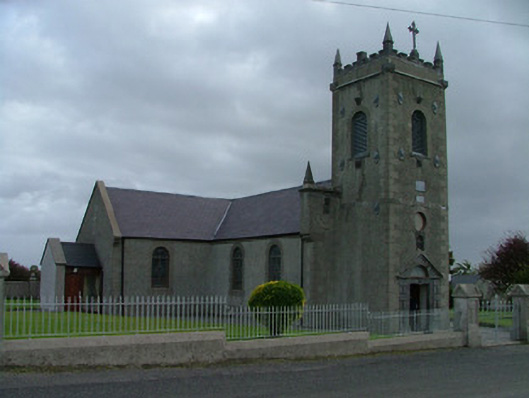 Catholic Church of Saint Peter and Saint Paulchurch/chapel · 1174 yd
 Lackan HillMountain / peak · 1337 yd
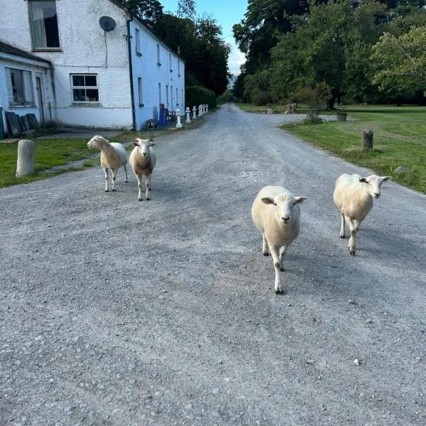 Enclosure in CloneenEnclosure · 1603 yd
 RoadRoad, class 3 togher · 1755 yd
 Graveyard in BallycommonGraveyard · 2.7 mi
 Finnrenashark Holy WellSpring · 3.3 mi
 Croghan Hill WalkVisitor information · 3.4 mi
Other information
Photo: Credit not shown in the picture search · Rights wording not checked; contact us if this picture should be removed