What is recorded here
Situated on a low natural rise in undulating countryside with church (OF10-021002-) to N. Present remains consist of grass covered wall footings of a destroyed castle which may represent a tower house from the sixteenth century. It is possible to estimate that the tower house had internal dimensions measuring approximately 10m E-W by 9m N-S. There may have been corner towers on the SW and NE corners. Remains of a rectangular shaped bawn (OF010-021003-) area (int. dims. 53m E-W; 80m N-S) to the S of the tower house. This area is defined by a partially destroyed L shaped bank. To the N of this enclosure there is a low bank which adjoins the graveyard wall and runs out in an E direction to form a roadway or laneway of unknown date and origin. Overall this site may have consisted of a tower house with bawn to the S and church with roadway to the N. There is also evidence of a possible enclosure in the adjoining field to the W of the tower house. In 1942 the site of the levelled castle (OF010-021001-) was described as, 'There is a flat-topped mound, irregular and a little eroded by digging, measuring about 23 [21m] x 27 [24m] yds. Sunk in it is a rect.[angular] enclosure about 11 [10m] x 7 [6m] yds. int.[ernal] dim., lined with stone wall grassed over, probably a keep. On S. of mound seem traces of another wall, and beyond it at a rather lower level an entrenched area rectangular and perhaps a baun [bawn] (OF010-021003-). The banks are however too obscure to plan without excavation, and it is not clear how much is old. Both church (OF010-021002-) and castle are approached from east by an avenue of very old thorns, and there is another such track on S side of castle' (ITA Survey 1942, SMR File).
Situated on a low natural rise in undulating countryside with church (OF10-021002-) to N. Present remains consist of grass covered wall footings of a destroyed castle which may represent a tower house from the sixteenth century. It is possible to estimate that the tower house had internal dimensions measuring approximately 10m E-W by 9m N-S. There may have been corner towers on the SW and NE corners. Remains of a…
From the National Monuments Service (Archaeological Survey of Ireland) record OF010-021001
The monument record does not grant public access. Check the route and ask the landowner before entering private land.
- What survives
- Recorded monument
Places near here
Graveyard67 ydPartially hachuredBawn · 282 ydBarrowBarrow, bowl-barrow · 302 ydSaint Clavin's WellSpring · 443 ydCruil HillMountain / peak · 941 yd Catholic Church of Saint Peter and Saint PaulChurch/chapel · 1142 ydLackan HillMountain / peak · 1378 ydKilmurry HouseHouse · 1.5 miGraveyard in BallycommonGraveyard · 2.5 miCroghan HillMountain / peak · 3.6 miTyrrellspass CastleCastle, tower house · 4.1 miGrand Canal WayWalking route · 5.8 mi
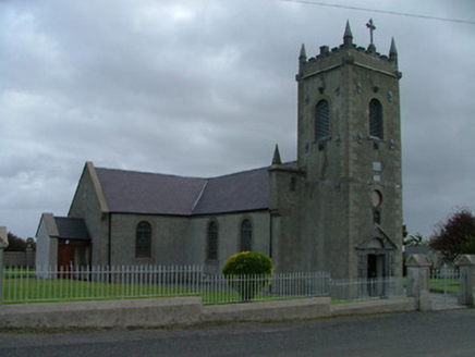 Catholic Church of Saint Peter and Saint PaulChurch/chapel · 1142 ydLackan HillMountain / peak · 1378 yd
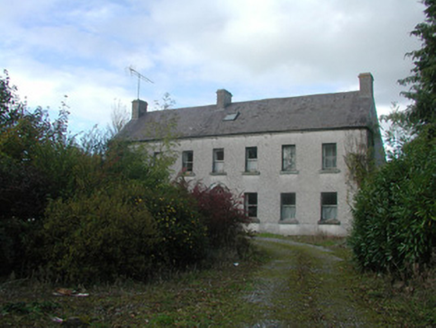 Kilmurry HouseHouse · 1.5 miGraveyard in BallycommonGraveyard · 2.5 mi
 Croghan HillMountain / peak · 3.6 mi
 Tyrrellspass CastleCastle, tower house · 4.1 mi
 Grand Canal WayWalking route · 5.8 mi
Pictures: National Inventory of Architectural Heritage; Sarah777 at en.wikipedia, Wikimedia Commons · Public domain; Brian Shaw, Wikimedia Commons · CC BY-SA 2.0; JP, Geograph · CC BY-SA 2.0
More castles and forts in County Offaly · All of County Offaly
What do you know about this place?