What is recorded here
Aerial photo (GSI N 549/548) shows possible enclosure not now visible at ground level.
From the National Monuments Service (Archaeological Survey of Ireland) record OF010-007
The monument record does not grant public access. Check the route and ask the landowner before entering private land.
- What survives
- Recorded monument
Places near here
Enclosure in CloneenEnclosure · 534 ydIndicatedEnclosure · 1134 ydPartially hachuredBawn · 1665 ydCruil HillMountain / peak · 1687 ydKill Castle (ruins)Castle, tower house · 1.1 mi Catholic Church of Saint Peter and Saint PaulChurch/chapel · 1.1 miKilduff HouseCountry house · 1.1 miSaint Clavin's WellSpring · 1.3 miLackan HillMountain / peak · 1.3 miFinnrenashark Holy WellSpring · 2.8 miCroghan Hill WalkVisitor information · 2.9 miCroghan HillMountain / peak · 3.0 mi
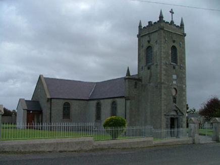 Catholic Church of Saint Peter and Saint PaulChurch/chapel · 1.1 mi
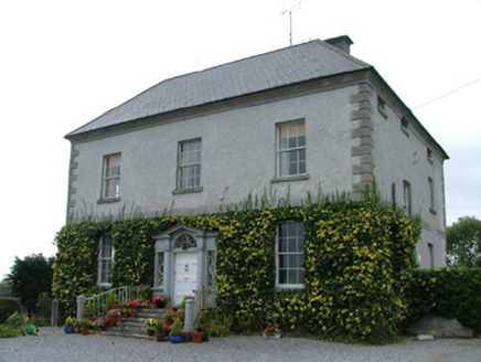 Kilduff HouseCountry house · 1.1 miSaint Clavin's WellSpring · 1.3 miLackan HillMountain / peak · 1.3 miFinnrenashark Holy WellSpring · 2.8 miCroghan Hill WalkVisitor information · 2.9 mi
 Croghan HillMountain / peak · 3.0 mi
Pictures: National Inventory of Architectural Heritage; Sarah777 at en.wikipedia, Wikimedia Commons · Public domain
More archaeology and monuments in County Offaly · All of County Offaly
What do you know about this place?