What is recorded here
Davies 1942 (ITA Survey) describes site as an oval fort (int. dims. 64 x 32.92m) delimited by a bank and external fosse. SW sector dug away to make a pond. Site no longer discernible as an antiquity in 1977 and levelled by 1991.
From the National Monuments Service (Archaeological Survey of Ireland) record OF010-001
The monument record does not grant public access. Check the route and ask the landowner before entering private land.
- What survives
- Recorded monument
Places near here
Enclosure in CloneenEnclosure · 1133 yd MayvilleHouse · 1182 ydMontrath Castle (in ruins)Castle, tower house · 1349 ydEnclosure in CloneenEnclosure · 1579 ydCruil HillMountain / peak · 1.0 miLackan HillMountain / peak · 1.3 mipresbytery/parochial/curate's house, building misc1.6 miSaint Clavin's WellSpring · 1.6 miTyrrellspass CastleCastle, tower house · 2.8 miArdan WoodWood · 3.1 miCroghan HillMountain / peak · 3.5 miGrand Canal WayWalking route · 6.6 mi
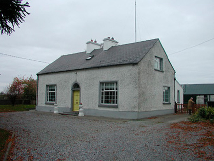 MayvilleHouse · 1182 ydMontrath Castle (in ruins)Castle, tower house · 1349 ydEnclosure in CloneenEnclosure · 1579 ydCruil HillMountain / peak · 1.0 miLackan HillMountain / peak · 1.3 mi
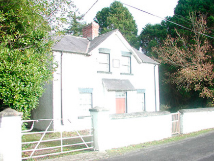 presbytery/parochial/curate's house, building misc1.6 miSaint Clavin's WellSpring · 1.6 mi
 Tyrrellspass CastleCastle, tower house · 2.8 miArdan WoodWood · 3.1 mi
 Croghan HillMountain / peak · 3.5 mi
 Grand Canal WayWalking route · 6.6 mi
Pictures: National Inventory of Architectural Heritage; Brian Shaw, Wikimedia Commons · CC BY-SA 2.0; Sarah777 at en.wikipedia, Wikimedia Commons · Public domain; JP, Geograph · CC BY-SA 2.0
More archaeology and monuments in County Offaly · All of County Offaly
What do you know about this place?